You book directly at the landlords and therefore commission-free!
Fast and easy!
We are constantly optimizing our processes to save you precious time.
Free of commission! Fast & Safe!
Our booking is fully encrypted and certified by Thawte
Browse through see.at
All the information you need
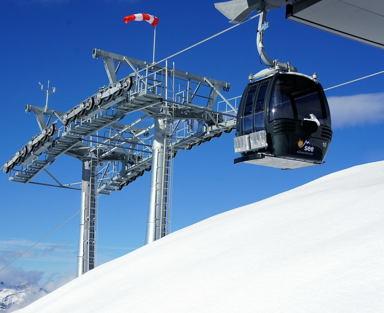
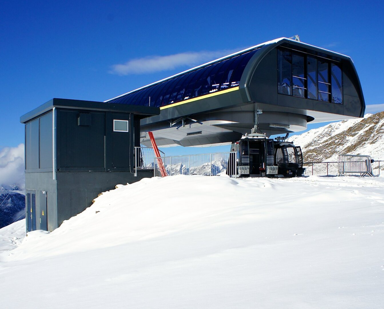
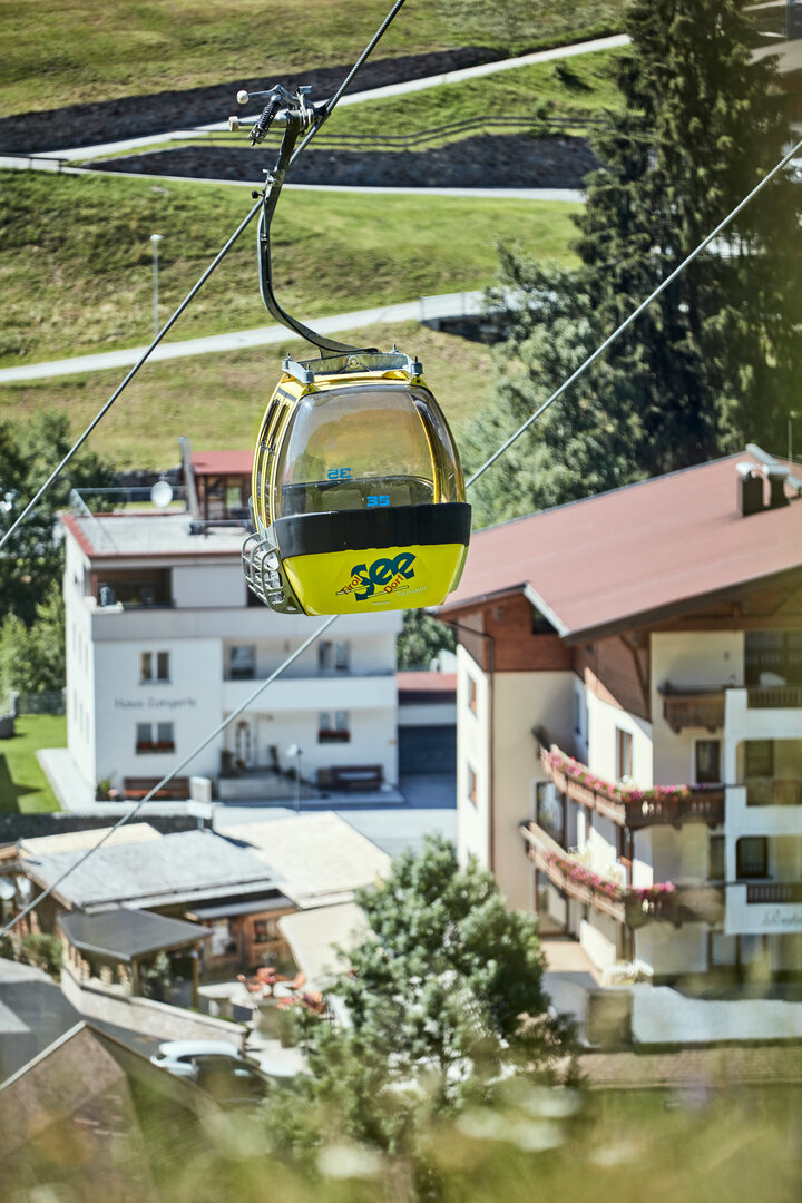
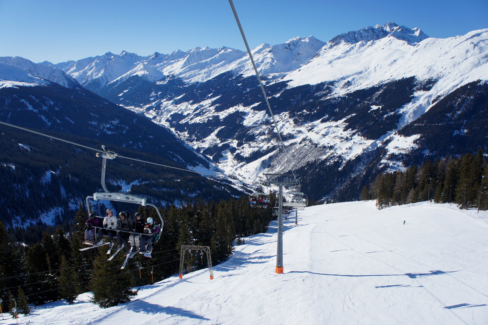
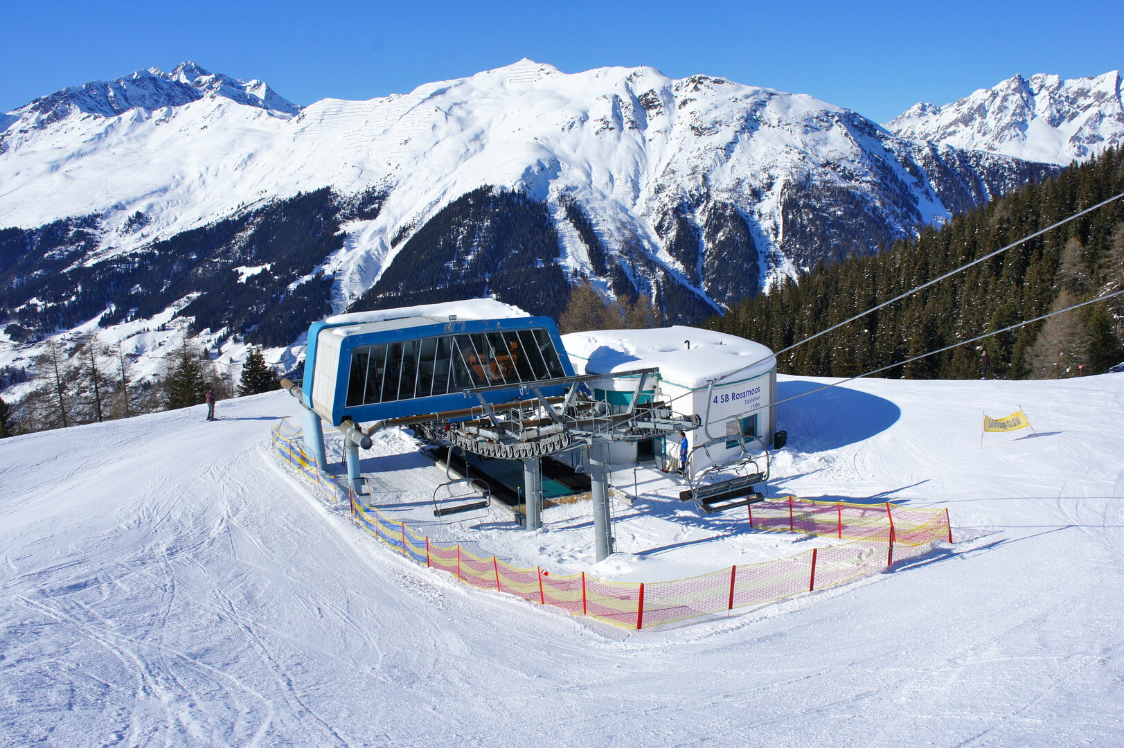
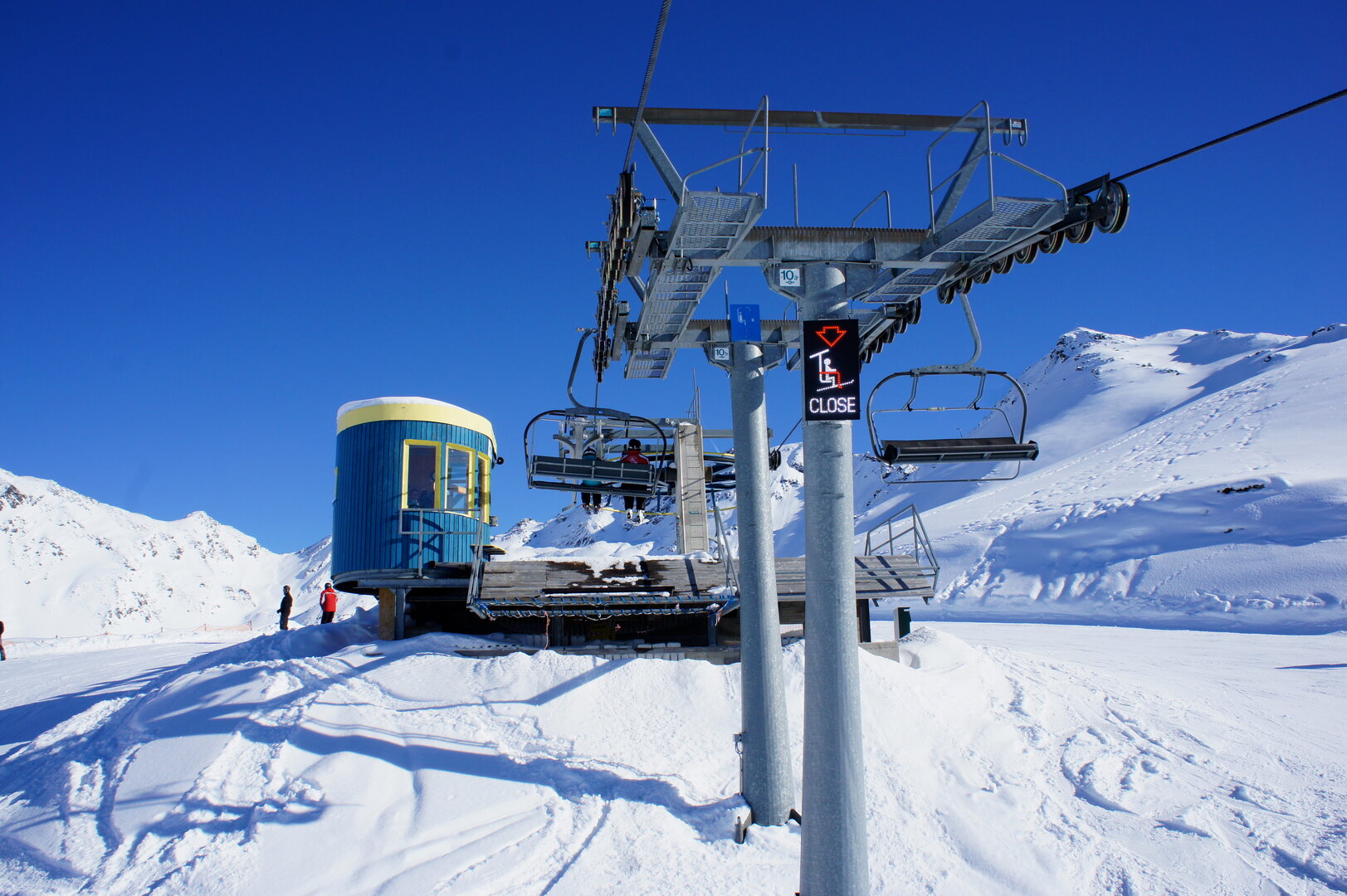
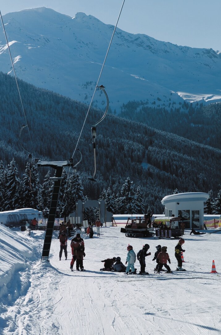
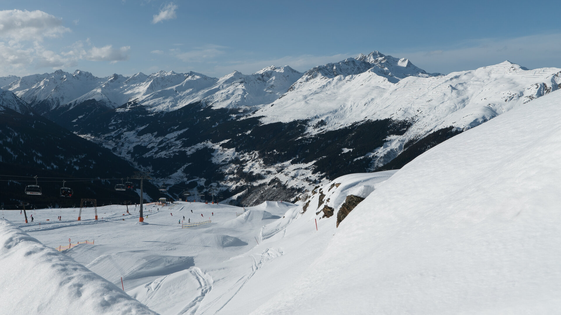
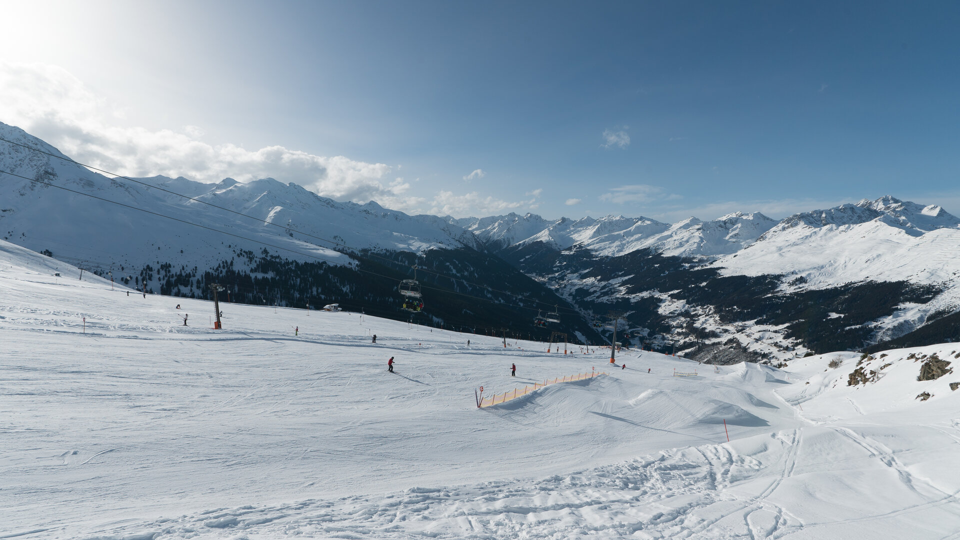
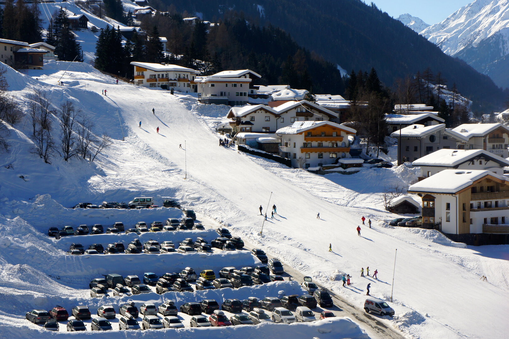
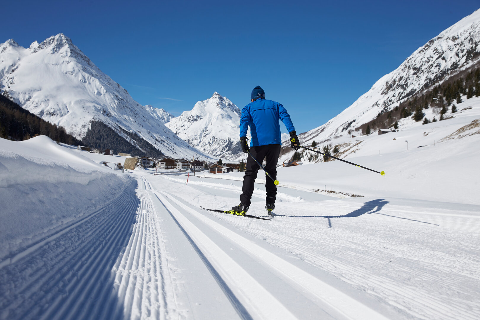
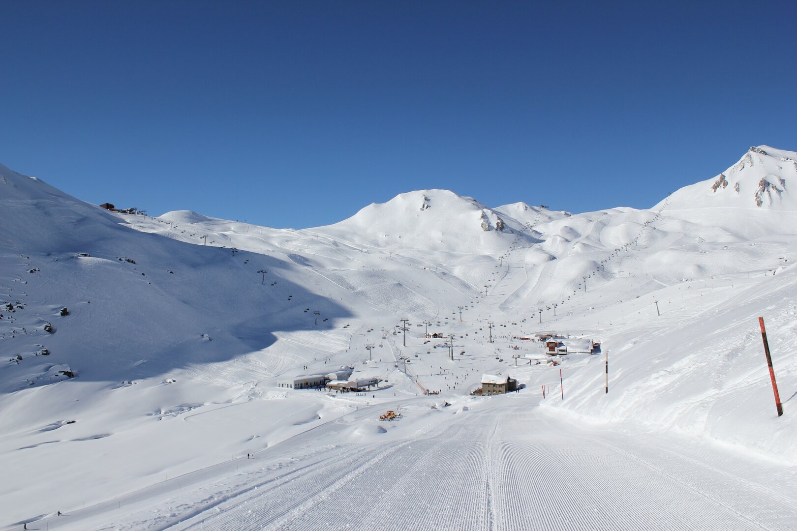
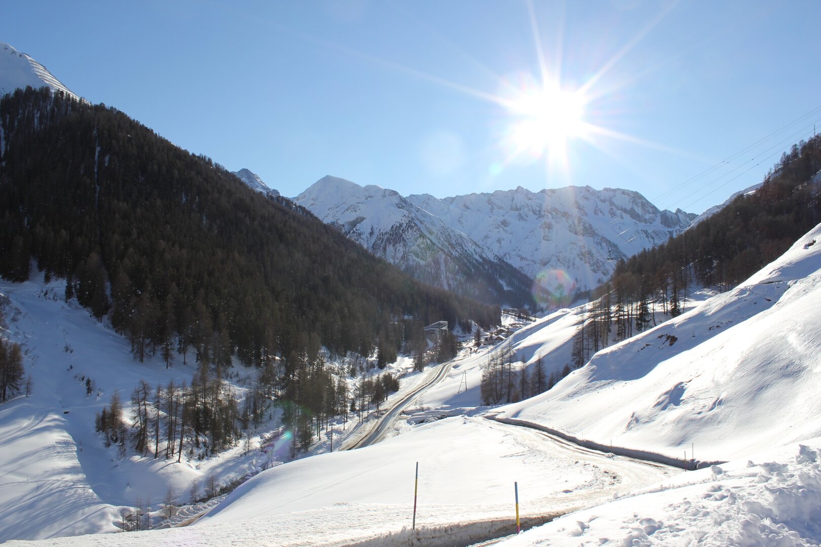
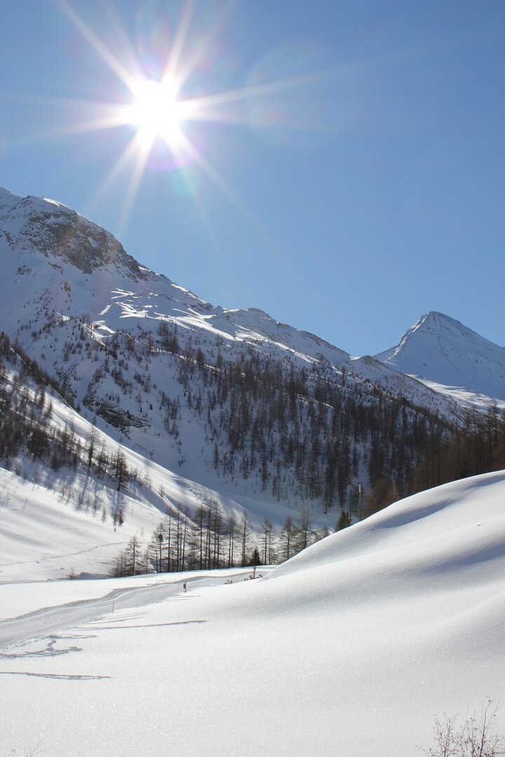
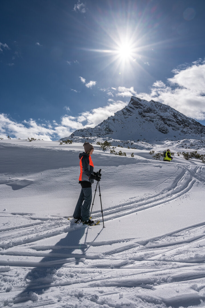
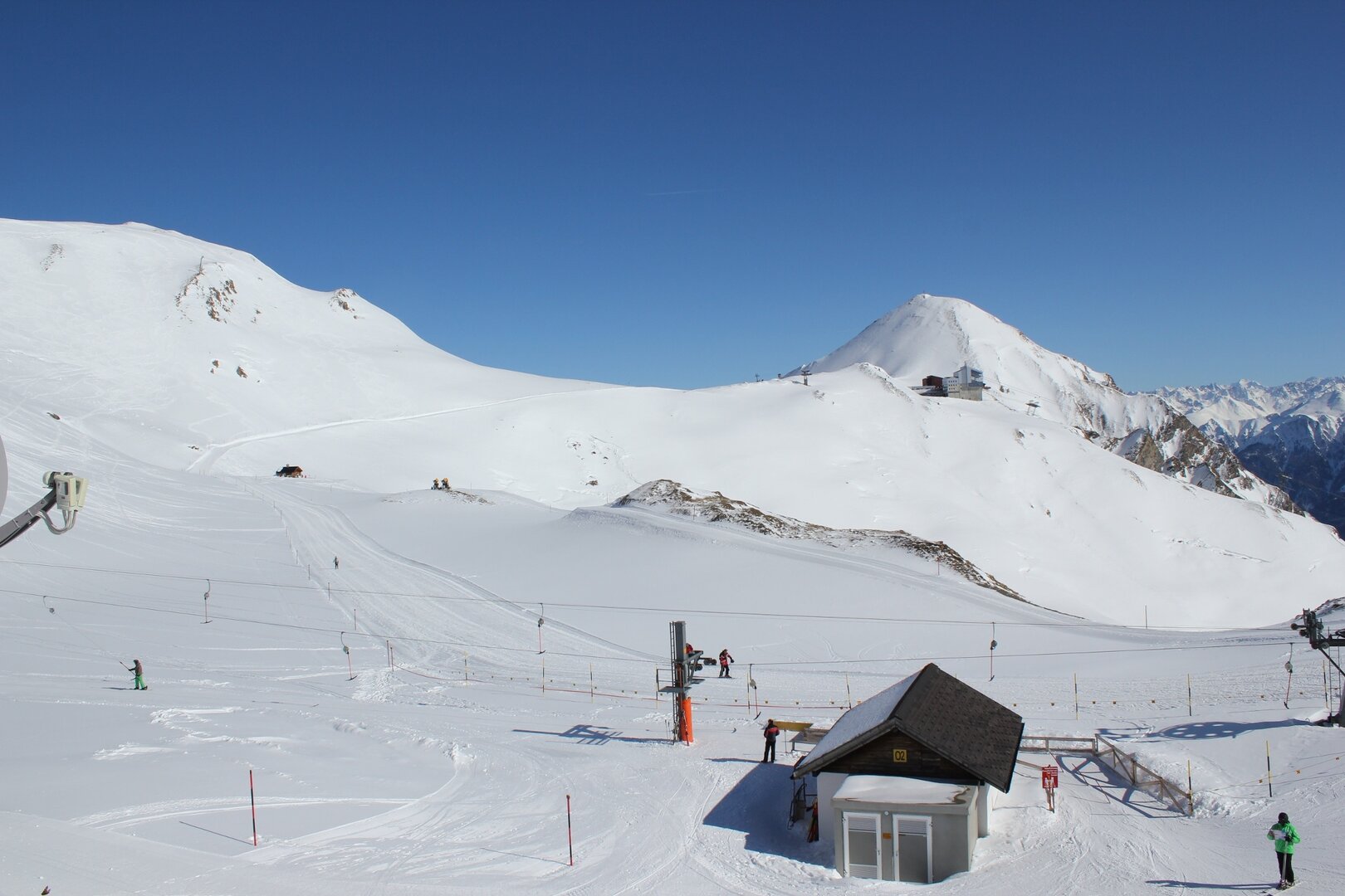
Open Ski Lifts and Trails
NEW in winter 2023/24: The ski area Kappl & See have united to form the ski area Kappl & See!
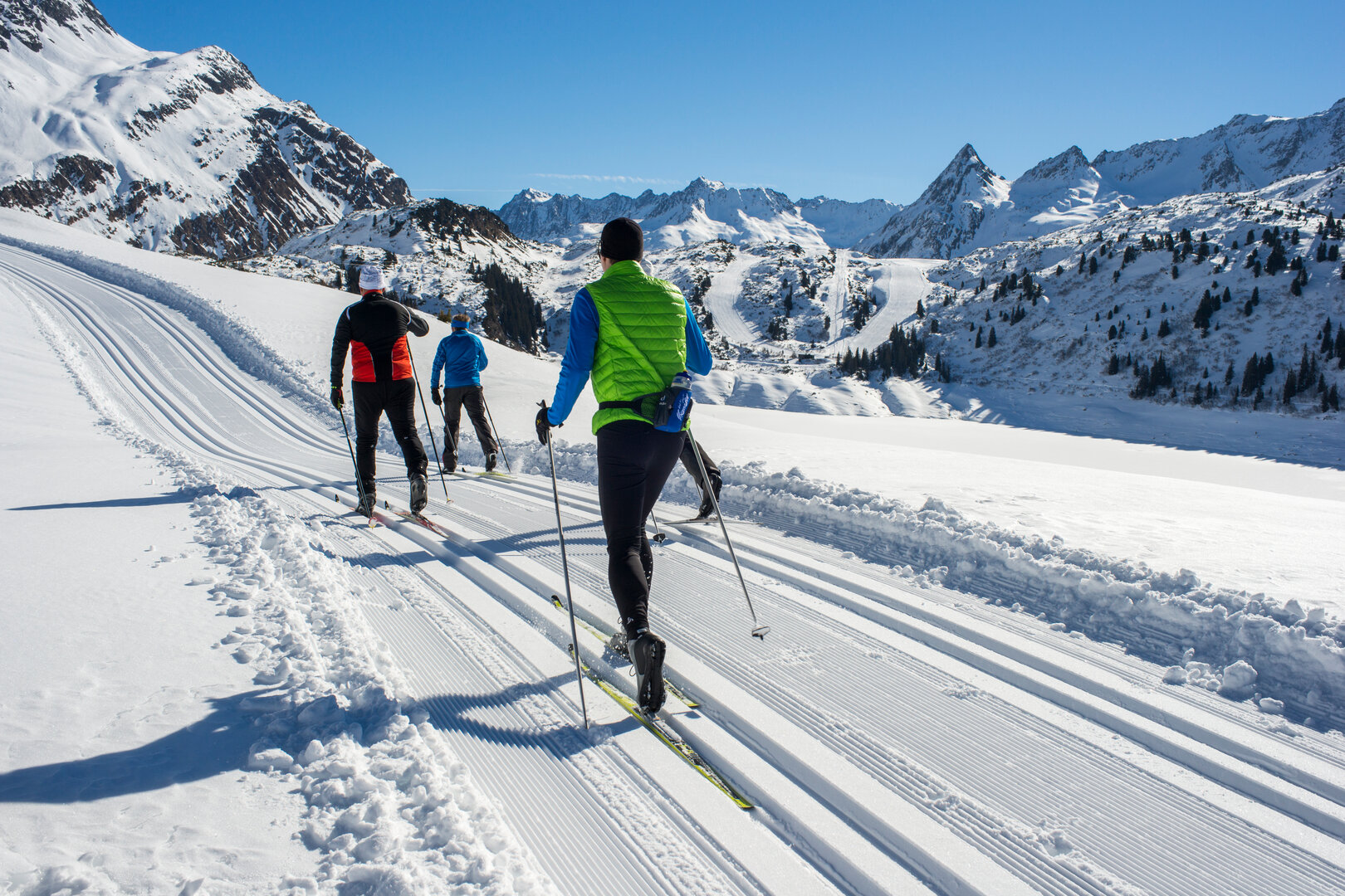
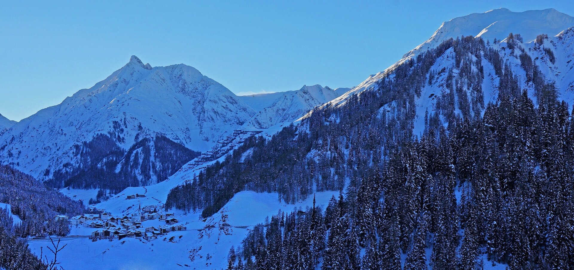
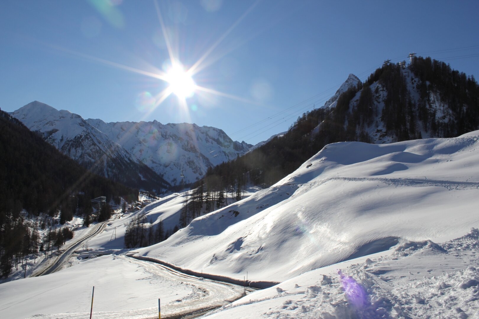
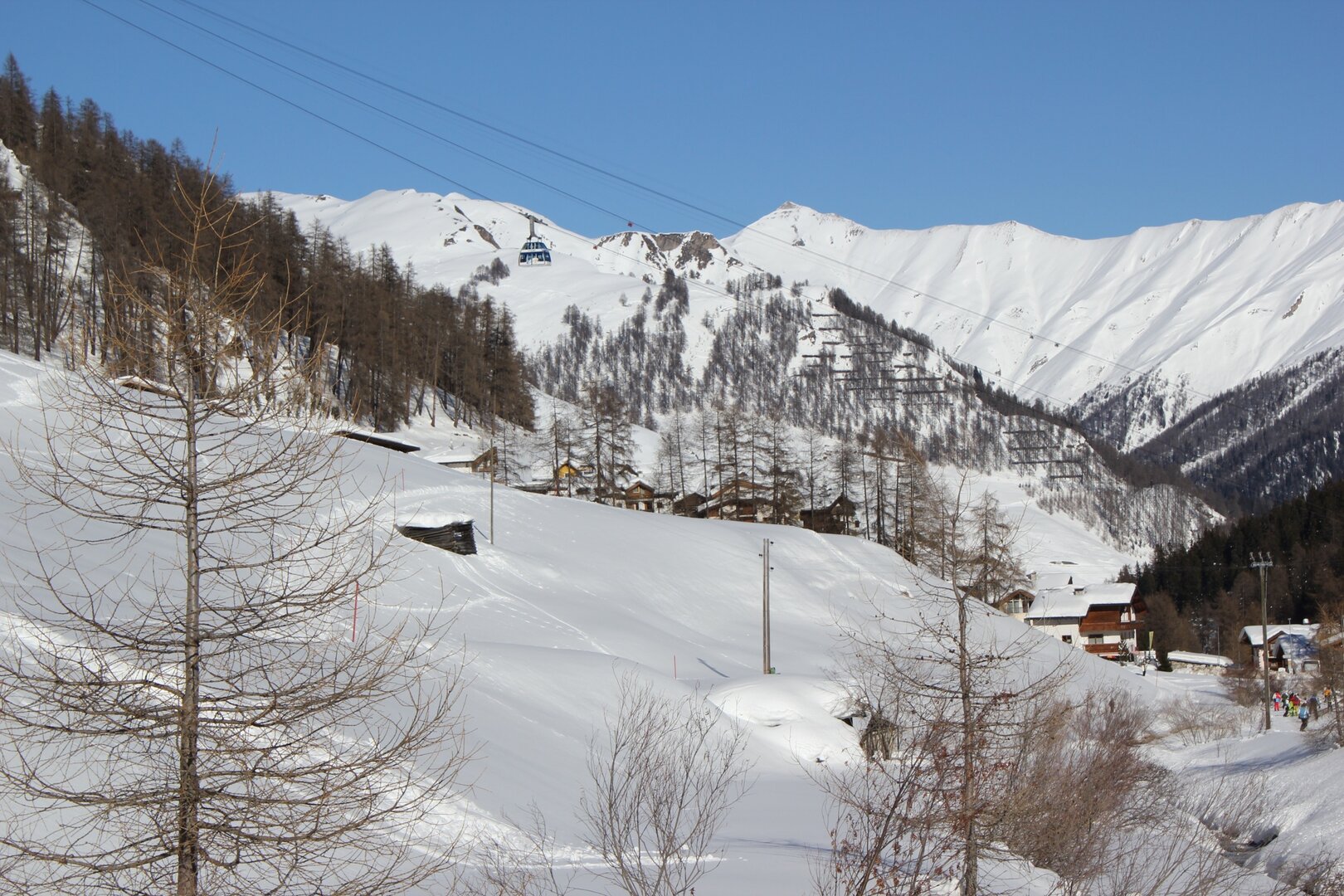
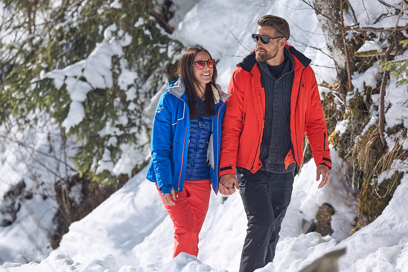
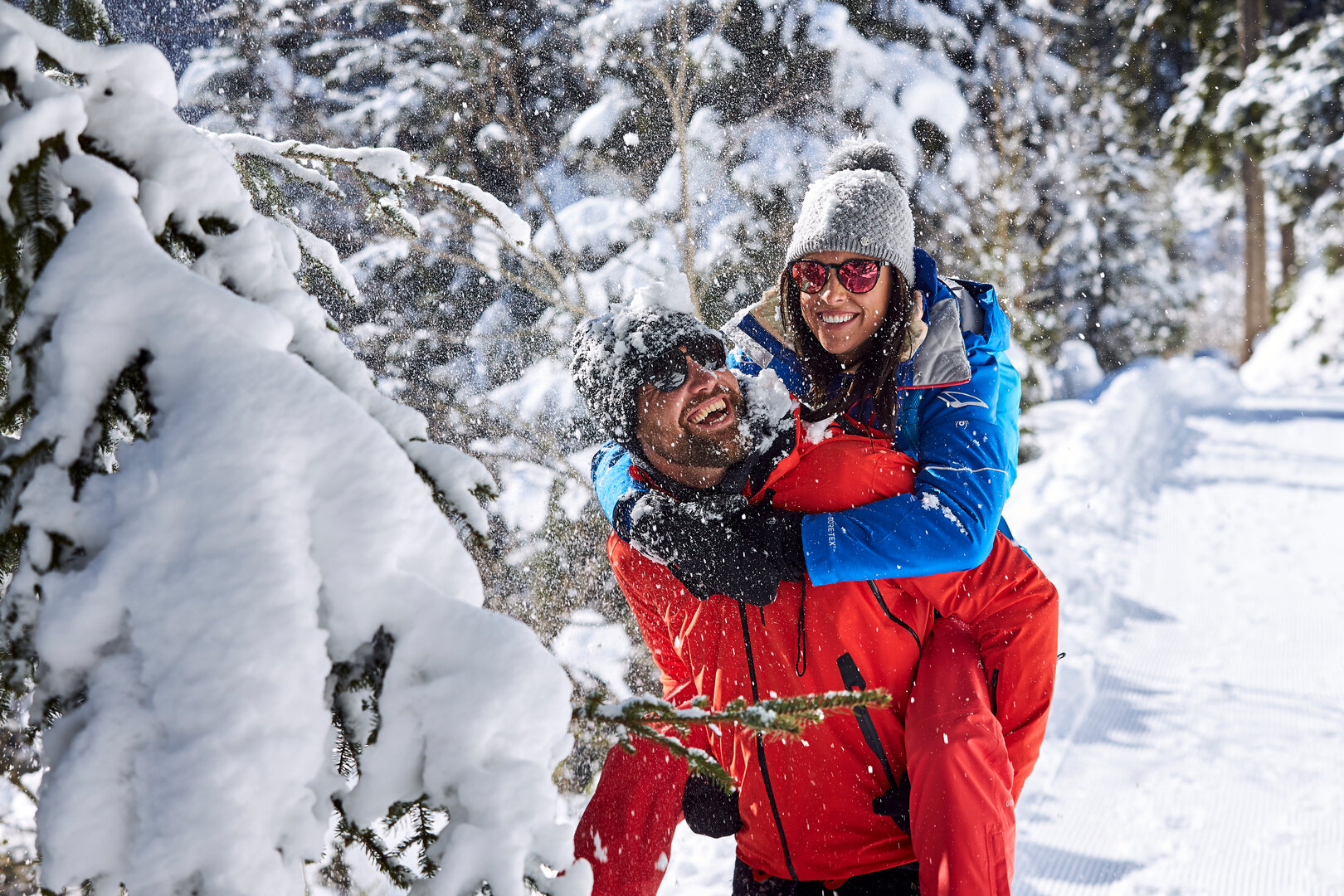
Head to the mountains and straight to ski area Kappl & See, the family-friendly skiing region in Tyrol’s Paznaun valley. Around 84 km of slopes are waiting for you. Winter athletes can choose from 21 lifts.
See which lifts and slopes are currently open in the See ski resort in Paznaun:
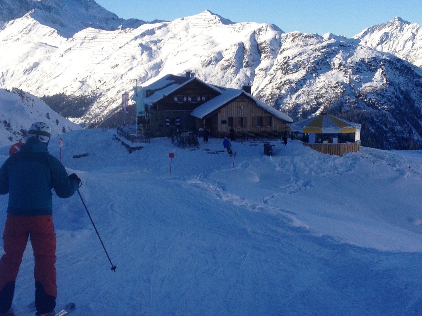
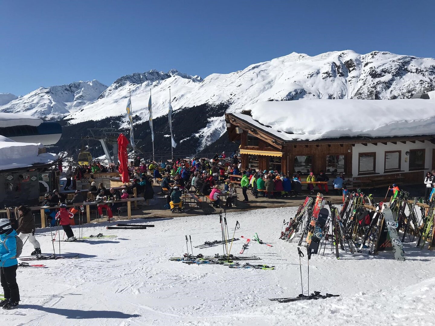
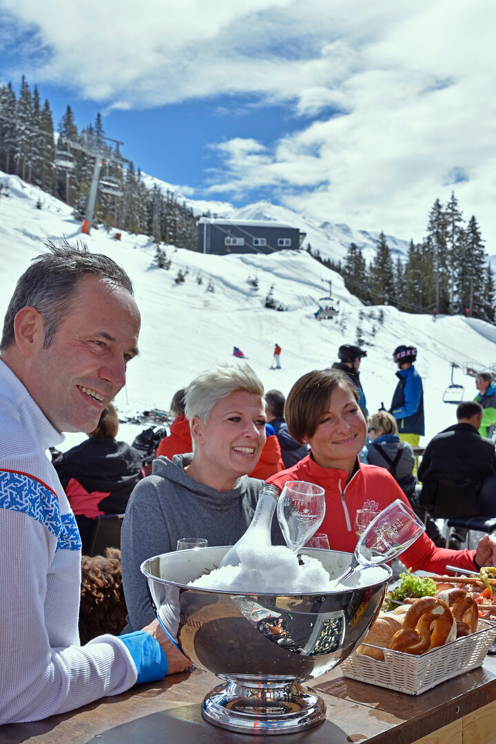
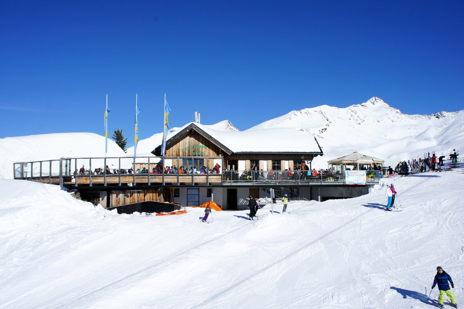
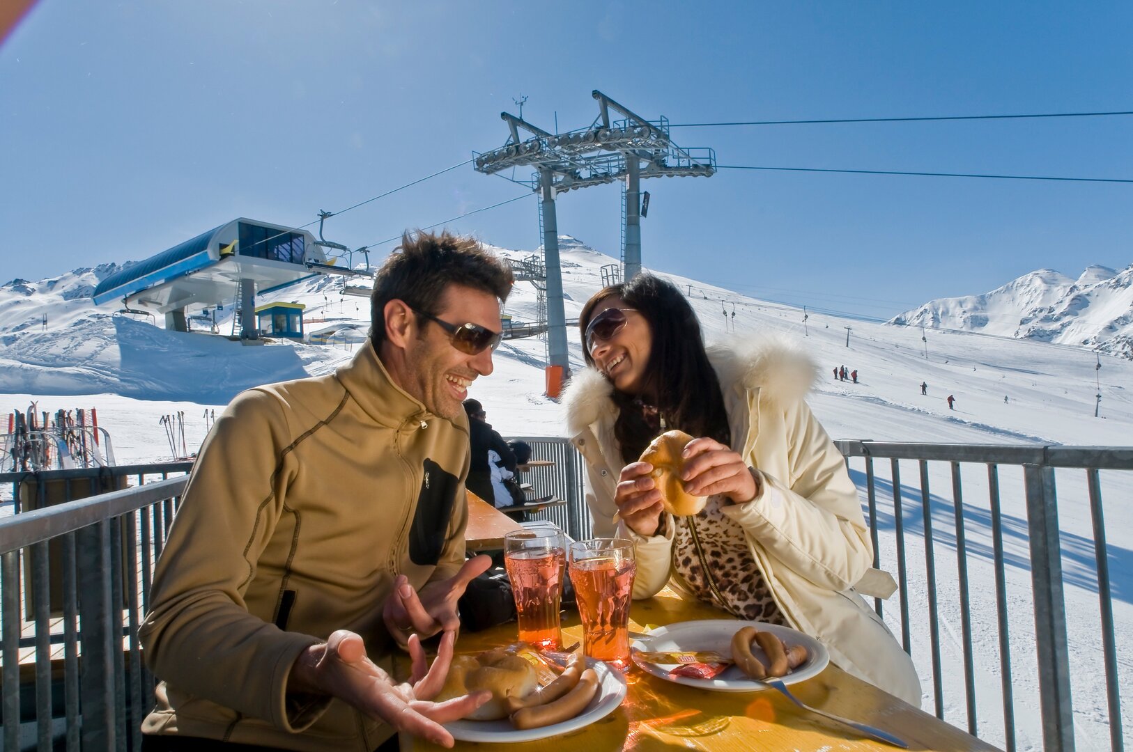
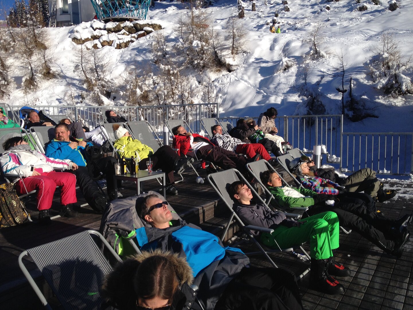
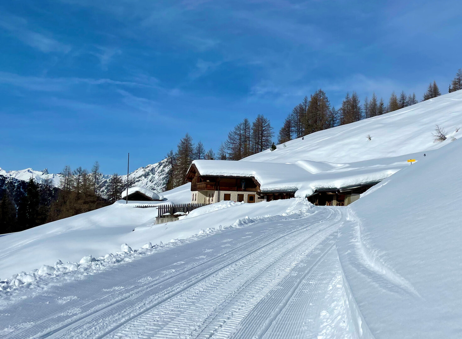
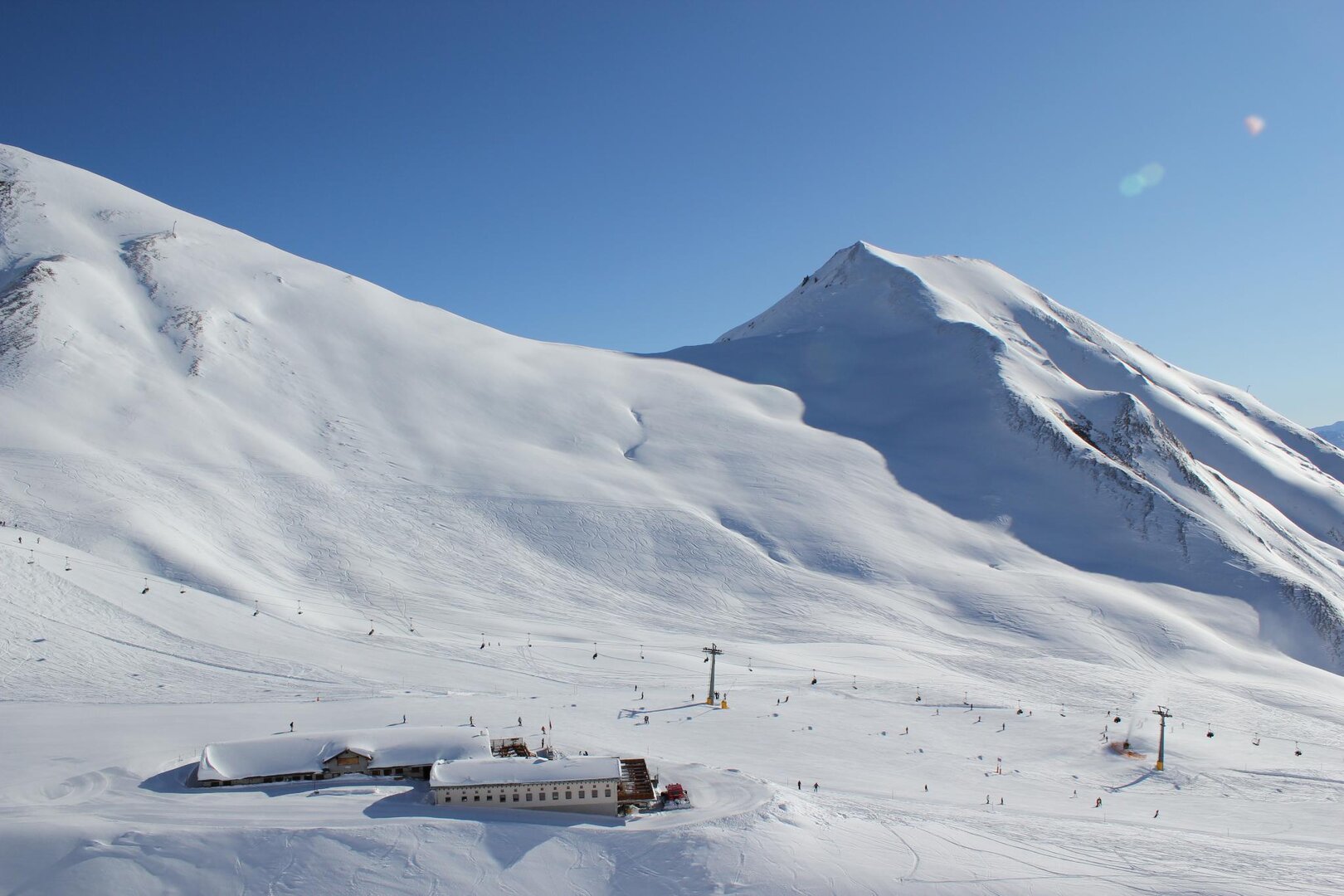
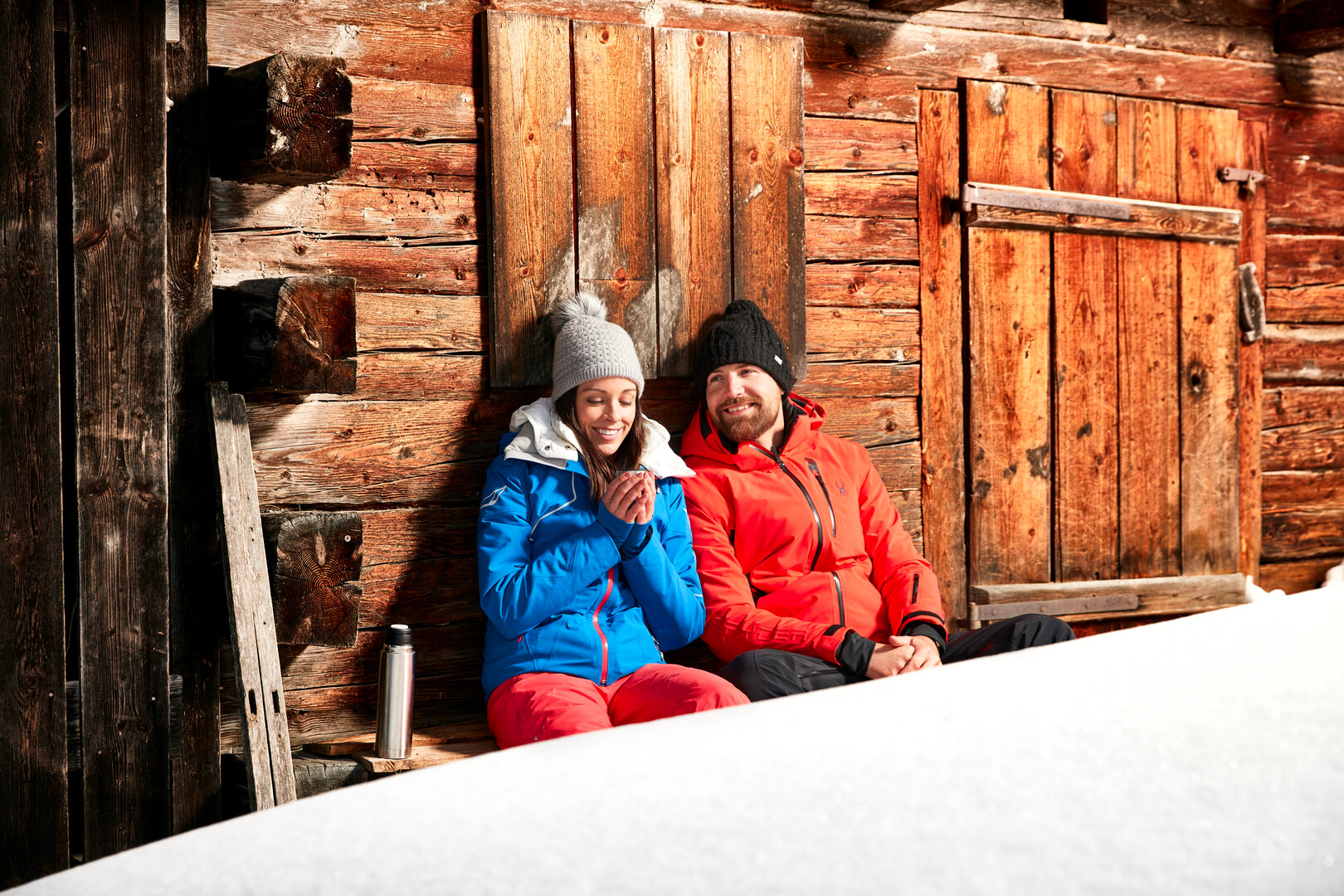
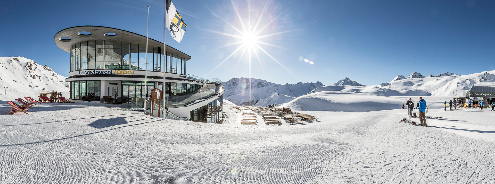
A reasonably priced, extensive range of meals, menus and drinks, along with the mighty mountain setting at 1850 metres altitude awaits holiday-makers in this self-service restaurant.
The panorama restaurant seats 360 indoors and around 400 on the terrace.
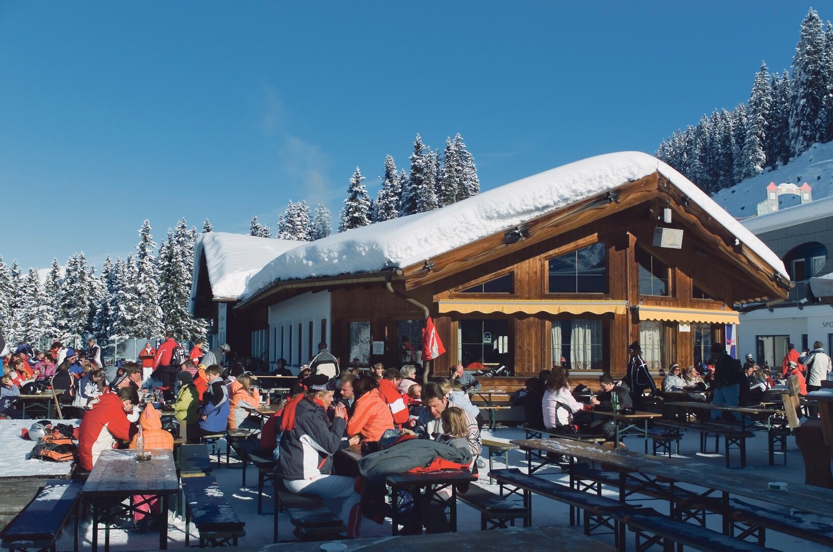
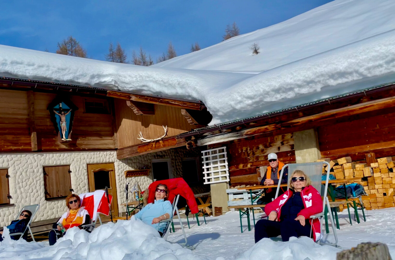
Restaurant Gratli
Restaurant Gratli
restaurant
Restaurant Gratli 2.220 m
A traditional Alpine lodge in the middle of the ski area
Restaurant Gratli seats 50 indoors and 240 on the terrace.
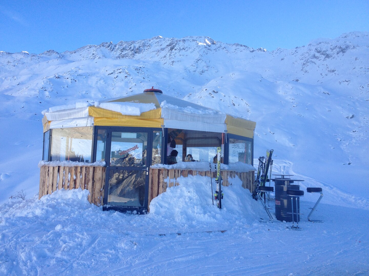
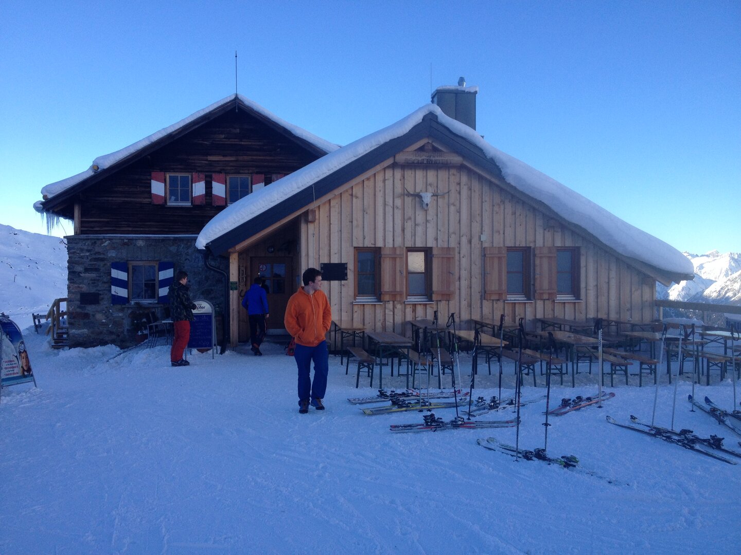
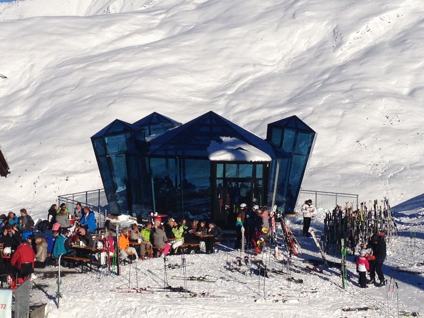
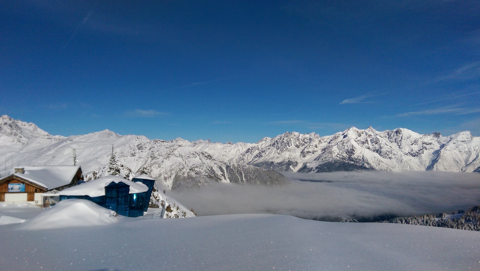
Schirmbar Ascherhütte
Schirmbar Ascherhütte
SkyBar neben dem Restaurant Gratli - 2.220 m
SkyBar neben dem Restaurant Gratli - 2.220 m
The Skybar is located right next to Gratli restaurant at 2,220 m above sea level.
One thing we can promise right now: the views are stunning! Below the platform there's a 300 m vertical drop with views of the new Versingbahn lower terminus.
Groups only possible after registering by telephone: +43 664 4448293
You will find two 24-metre-long, 2-3 metre-wide Bavarian curling surfaces in See. Challenge your family to a fun and exciting game!
Bavarian curling including equipment per team of two and hour: € 5.00
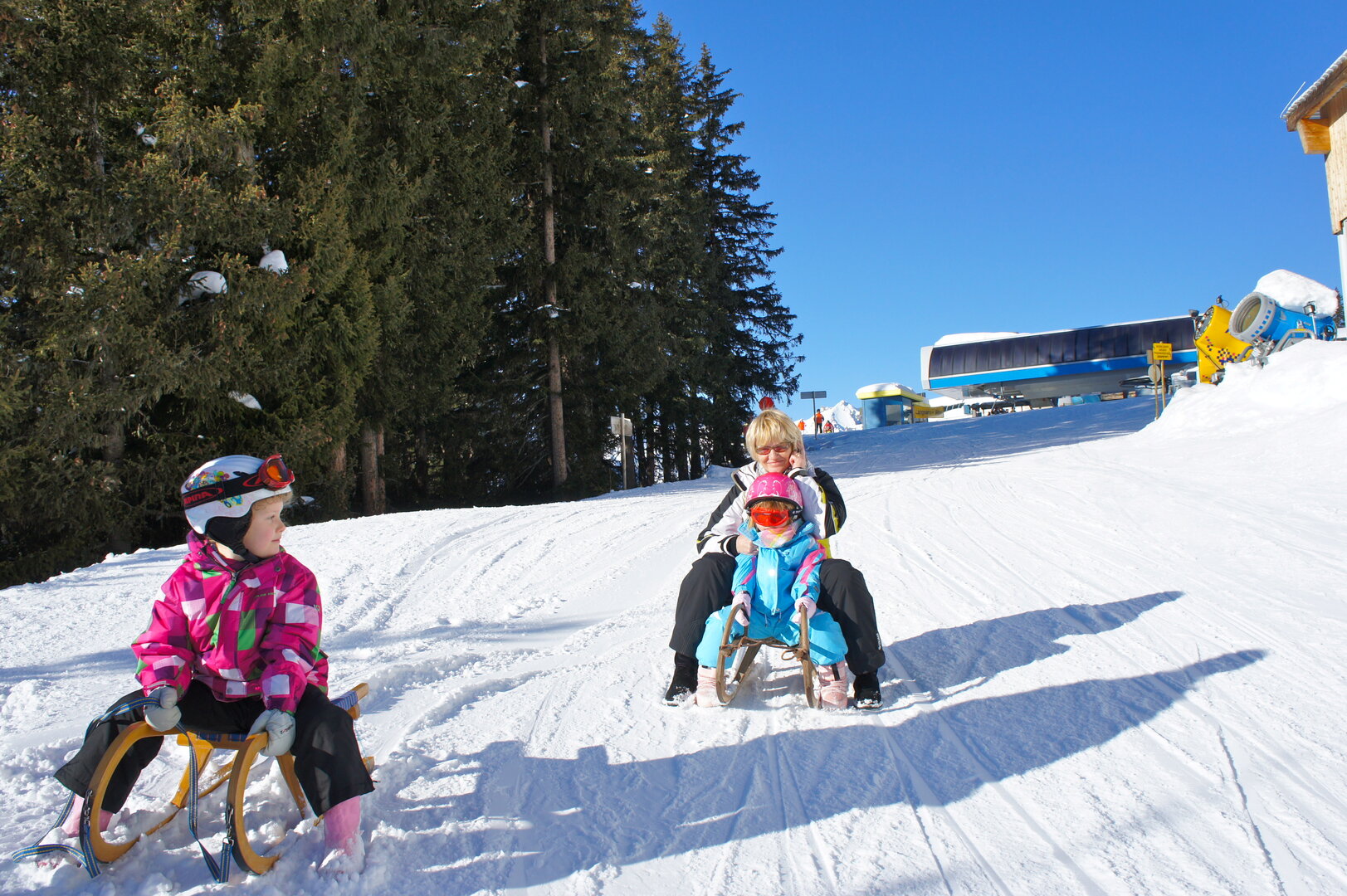
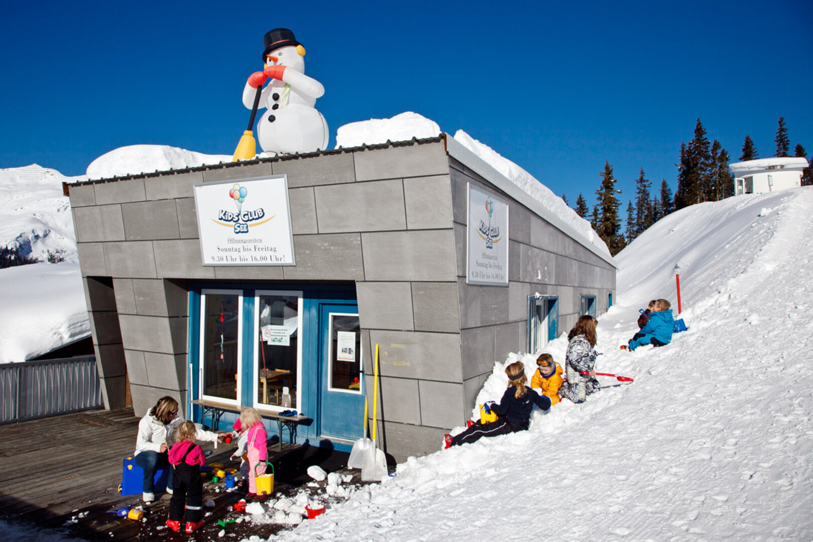
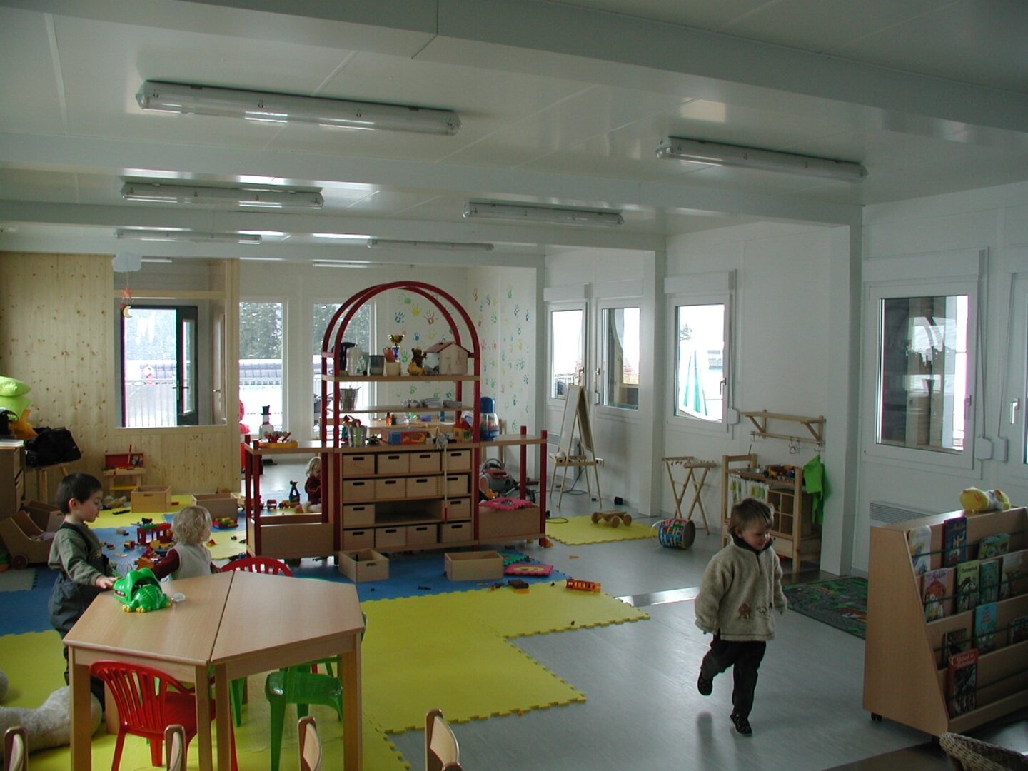
Kindergarten
Kindergarten
Child supervision service for little guests from the age of two
Open Sunday to Friday from 9.30 am to 4.00 pm during the winter season (subject to changes)
Per hour: € 2,00
Per day: € 7,00
Weekly ticket: € 25,00
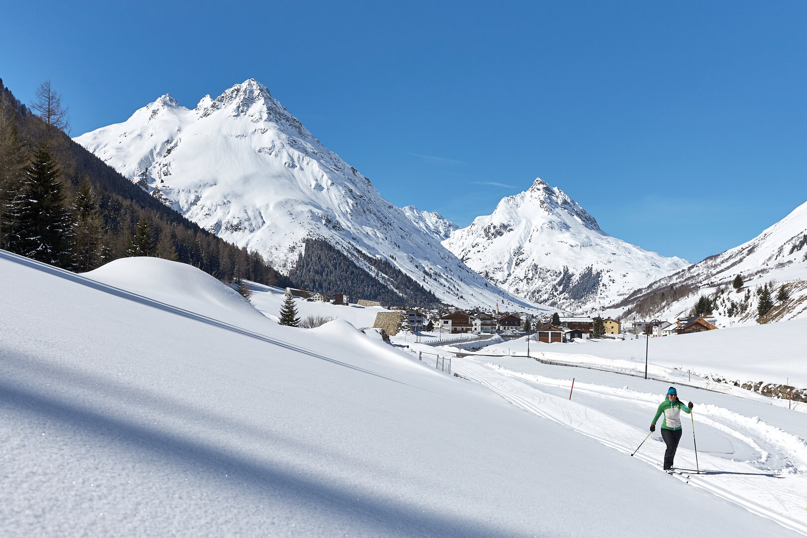
Perfect views to the Gorfen- & Ballunspitze, the local mountains in Galtür are included.
The short Tschaffein trail with only 3,3 km length is perfect for your first tries on the trail and is not too demanding with an altitude difference of 50 metres.
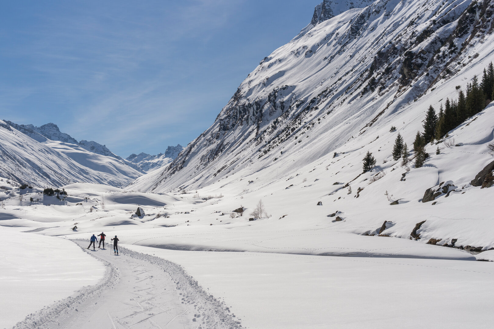
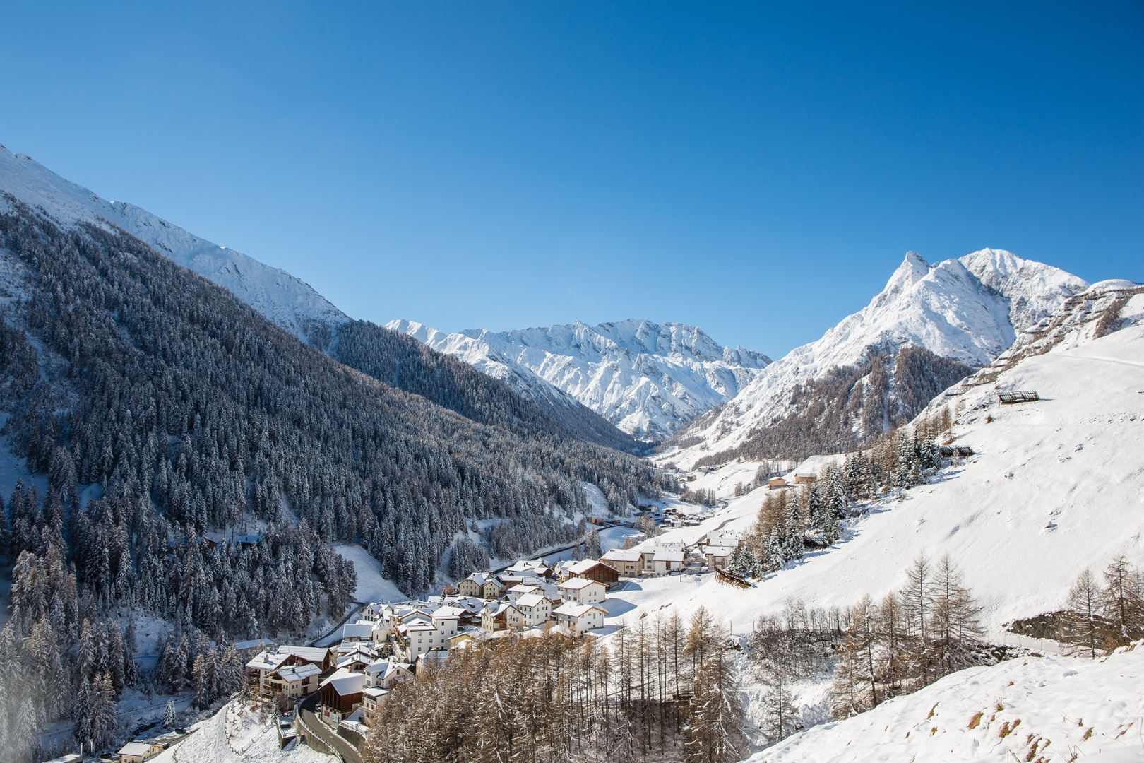
Experience cross-country skiing in Galtür, the highest place in Paznaun at close to 1,600 m elevation, protected by the massive mountains of the Silvretta massif.
Galtür’s motto is “Experience alpine wintersports!” The Galtür Wirl Trail, at 6,5 km and minor elevation requires only medium stamina and coordination and is also suited for intermediate skiers.
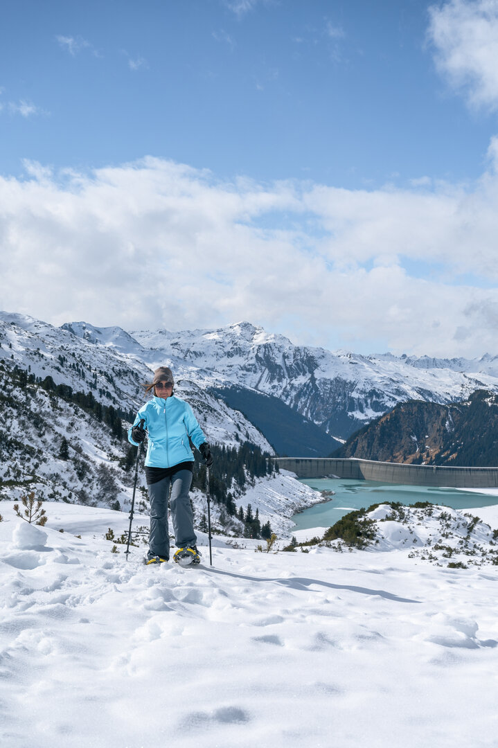
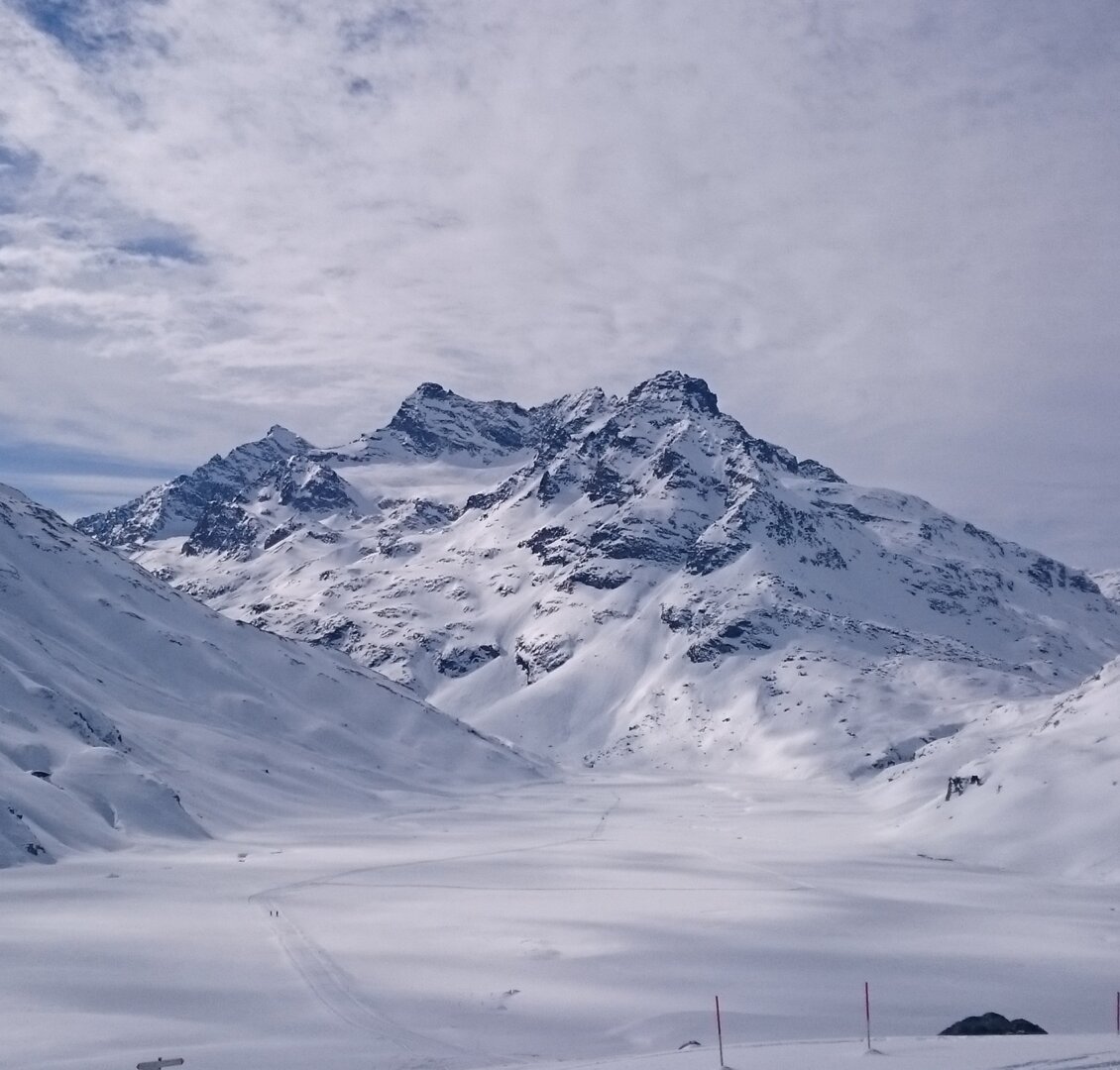
The area surrounding the Zeinissee and Kops reservoir are certainly among the most idyllic places in Paznaun.
At the border between Tyrol and Vorarlberg, a magnificent view of giant peaks of the Silvretta massif awaits you.
Starting point
Galtür Wirl
Endpoint
Galtür Wirl
Route length
11.5 km
Currently open
0 km
Overall increase
255 hm
Difficulty
Cross-country-skiing route
Status
closed
Style
classic or skating
career opportunities
Zeinis - Kops
Connection trail
R1, L5
Refreshments
Restaurants in Wirl
S-B 1, Dammloipe
closed
e
easy
This cross-country skiing route starts directly at the dam (to the left of the Piz Buin mountain inn).
In the beginning, the route runs slightly downhill and then slightly uphill, but afterwards it is always nice and flat along the dam of the Silvretta reservoir.
The Silvretta-Höhenloipe is a circular tour. It starts at the Piz Buin mountain inn and leads past the Barbara Chapel in the direction of Lake Vermunt.
After about 1 km, you'll pass the Silvrettahaus and finally end up at the Piz Buin inn.
The Silvretta-Höhenloipe is a circular tour. It starts at the Piz Buin mountain inn and leads past the Barbara Chapel in the direction of Lake Vermunt.
After about 2 km, you'll pass the Silvrettahaus and finally end up at the Piz Buin inn.
The Silvretta-Höhenloipe is a circular tour. It starts at the Piz Buin mountain inn and leads past the Barbara Chapel in the direction of Lake Vermunt.
After about 1 km, you'll pass the Silvrettahaus and finally end up at the Piz Buin inn.
Vermunt route 2 „Bielerhöhe“ connects directly to Vermunt route 1 „flooded gravel pit“ - proceed to the highest point of this slope network at 2039m.
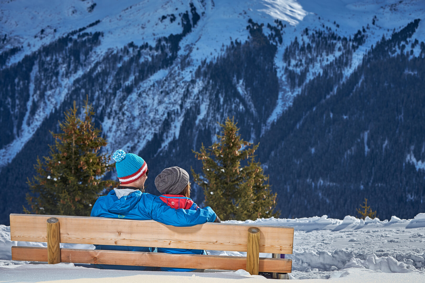
This cross-country route is challenging, yet the dreamy panoramic mountain views will help you forget almost all of those efforts, since on the sun-blessed Bielerhöhe, with the impressive Silvretta reservoir, enjoyment comes easy.
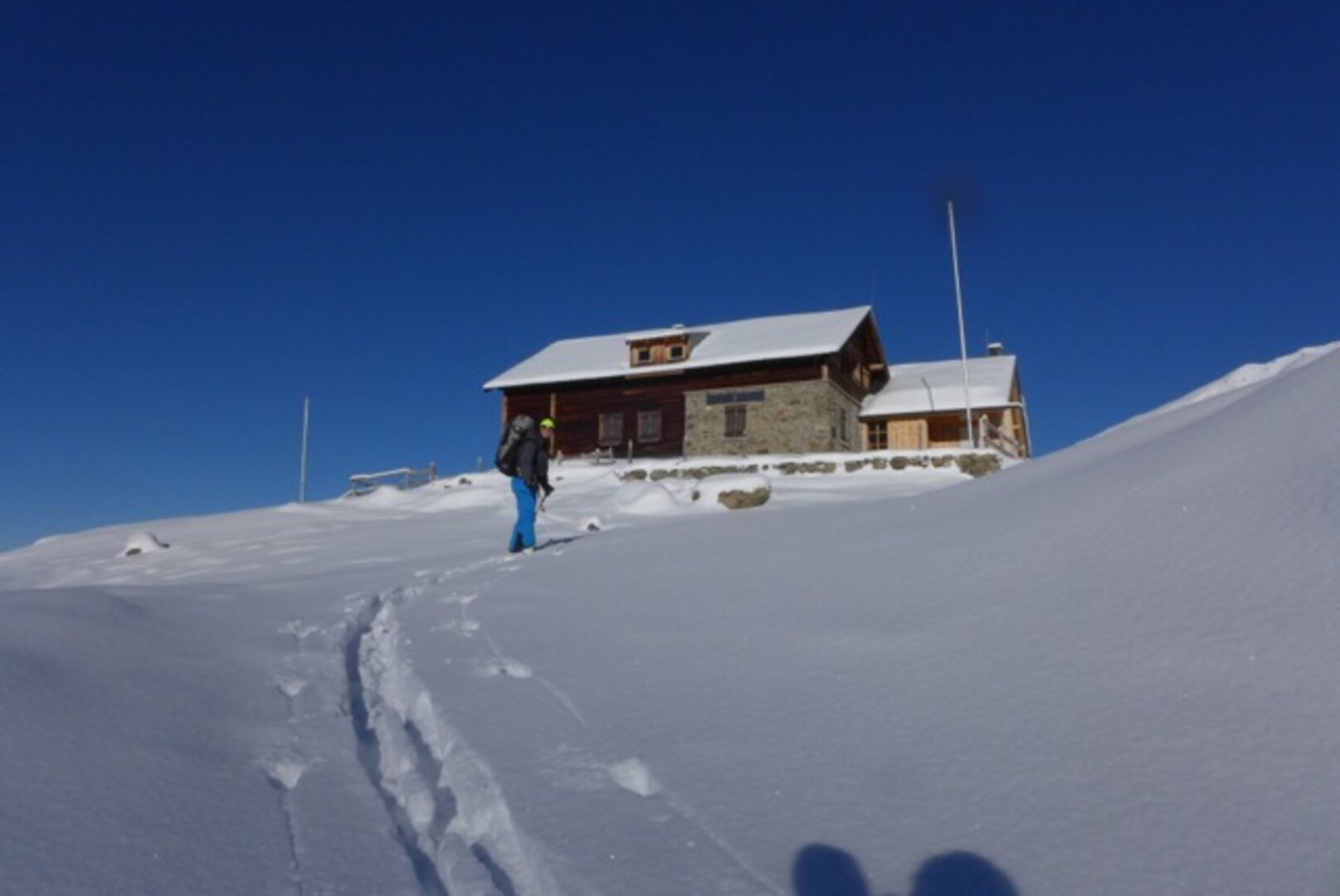
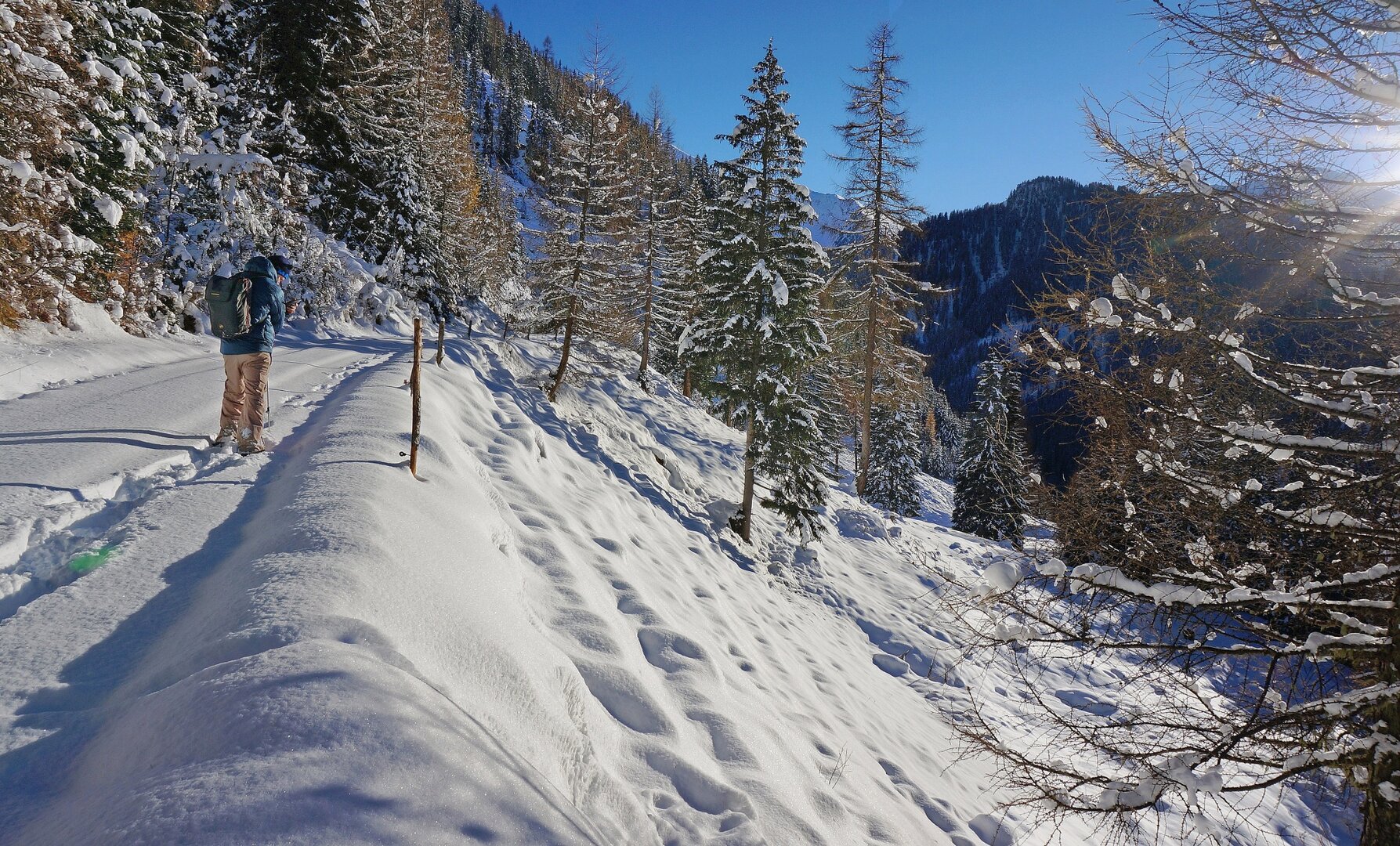
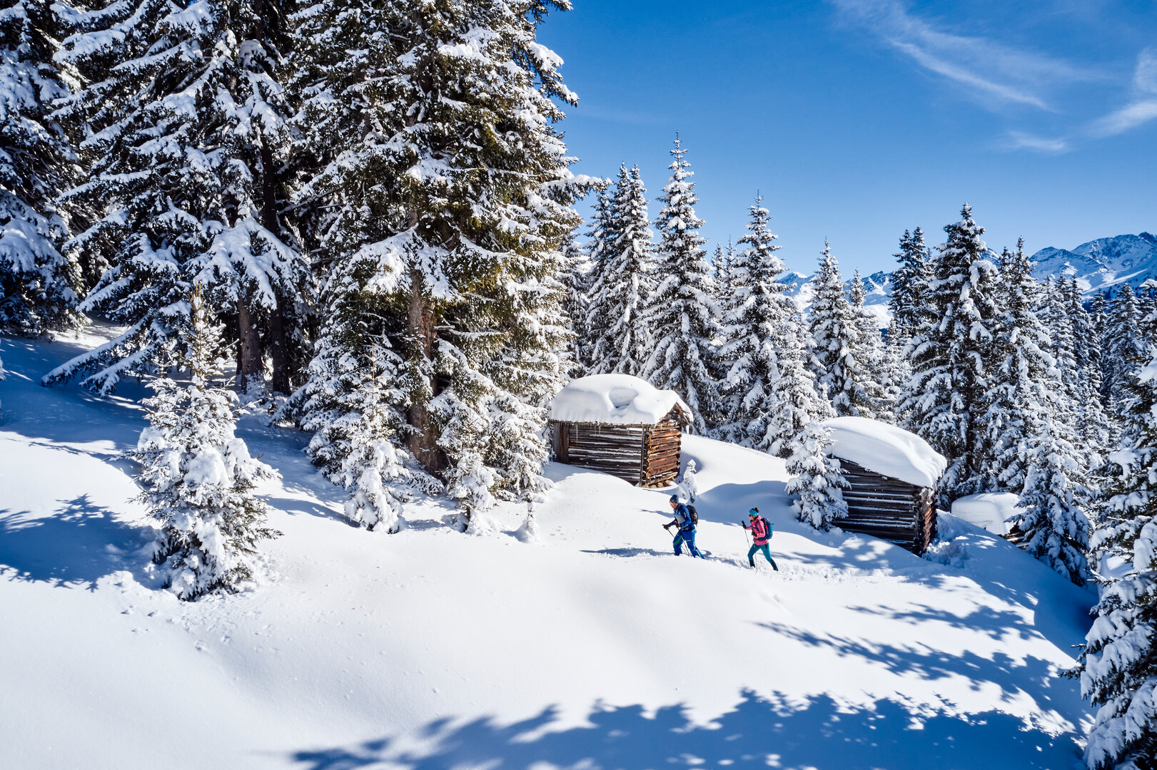
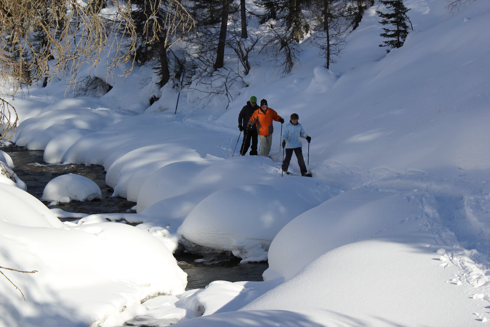
The winter hike to Ascherhütte is a great alternative to skiing.
Take Medrigjochbahn cable car and Zeinisbahn chairlift to get to the starting point. The scenic tour starts at Zeinisbahn mountain station. A marked trail will take you along ski run No. 32 all the way to Furglerblick valley station. From there, continue along ski run No. 30 until you reach Ascherhütte. At the top, you will be rewarded with splendid views of the Verwall mountains and Hoher Riffler (3,168 metres). To get back to the starting point of your tour, simply follow the same trail back and hop on the cable car back to See.
Starting point
Zeinisbahn mountain station
Endpoint
Ascherhütte and back to Zeinisbahn mountain station
Route length
3 km
Currently open
3 km
Walking time
1.5 h
Difficulty
medium
Status
closed
Refreshments
Panoramarestaurant, Restaurant Gratli and Ascherhütte
See Medrig – Versing
closed
m
medium
This tour to Versing Alm gives you 5.5 kilometres of pure winter hiking bliss.
Nature lovers will enjoy the quiet surroundings of this trail. The tour starts with a conveyor belt taking you to the ski resort’s practice area for beginners. From there, a marked trail runs along the practice area and ski run No. 30, taking you all the way to Versingbahn valley station. The final part of the tour will take you further away from the groomed slopes. During winter, Versing Alm is closed, and nature lovers get to enjoy the picturesque winter landscape in serene silence.
Starting point
Panoramarestaurant Medrig Center
Endpoint
Versing Alm, and back to Panoramarestaurant
Route length
5.5 km
Currently open
5.5 km
Walking time
2.5 h
Difficulty
medium
Status
closed
Refreshments
Panoramarestaurant
See – Kappl
closed
e
easy
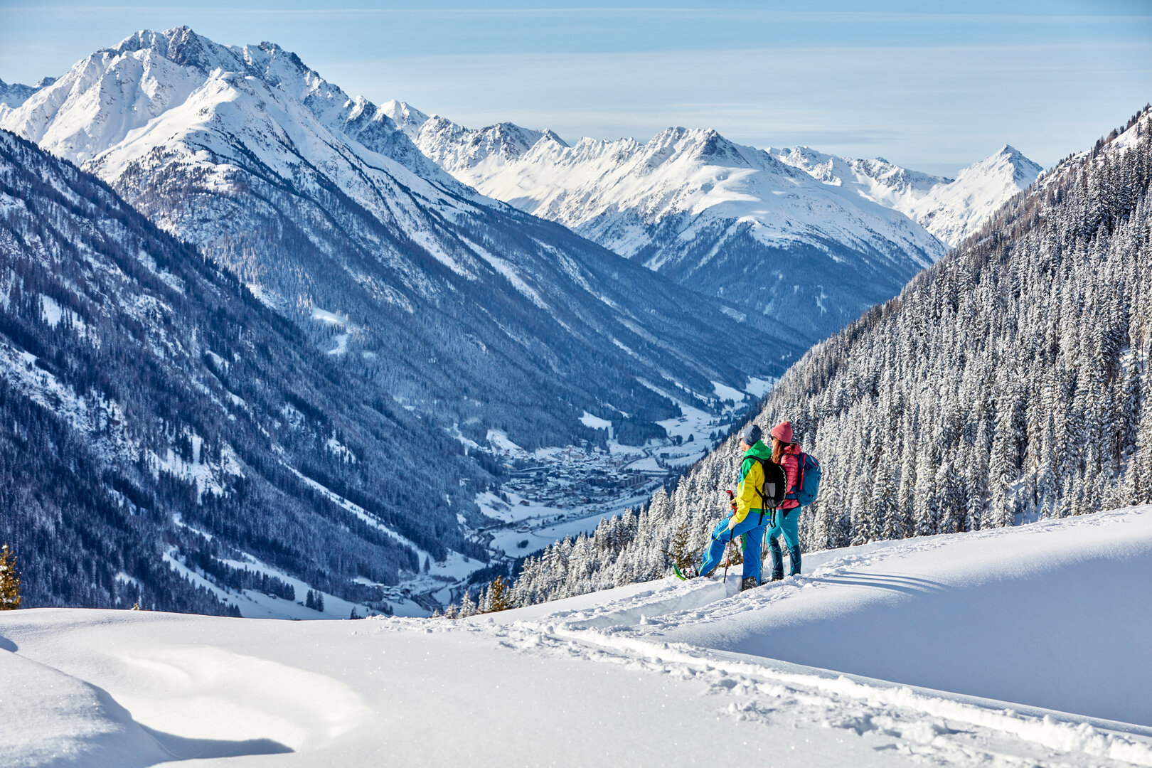
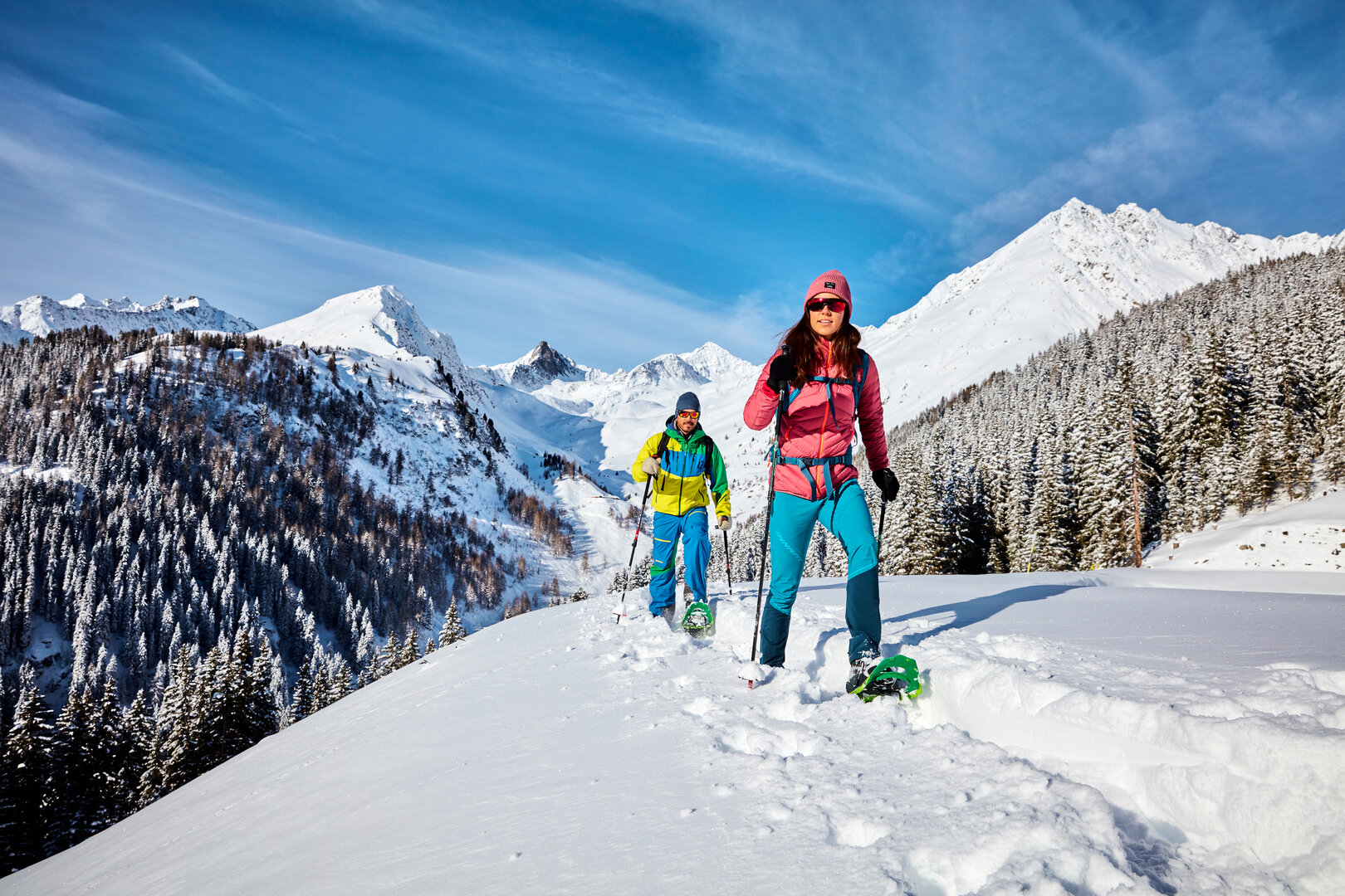
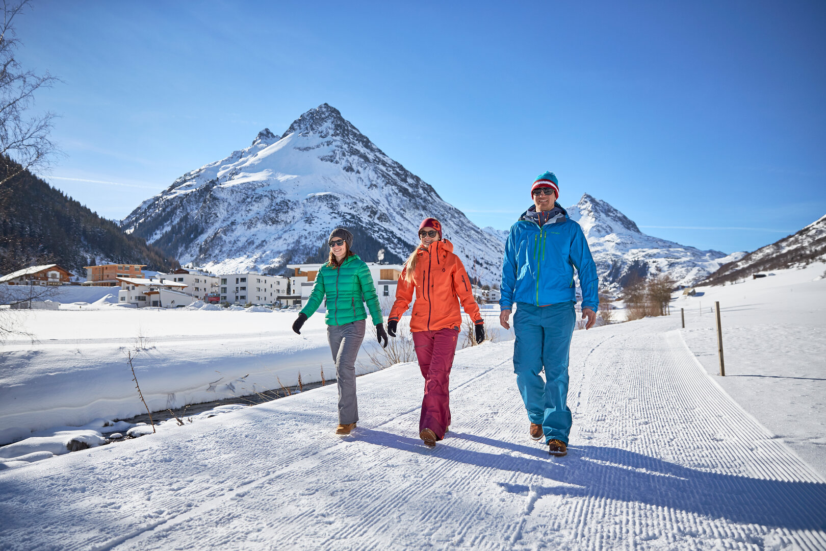
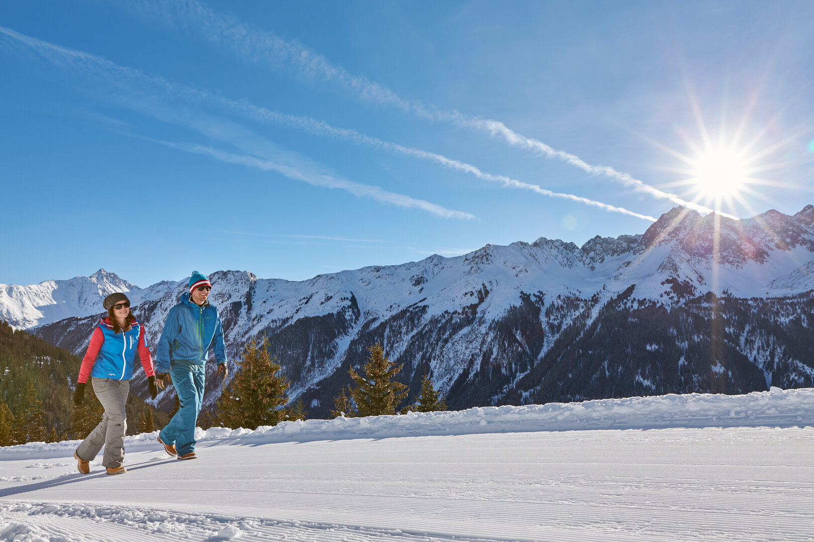
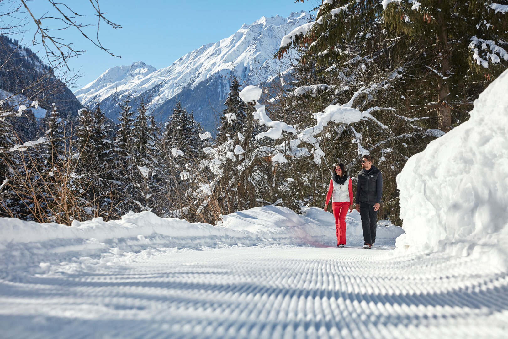
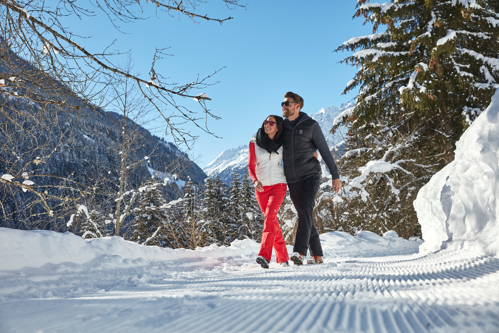
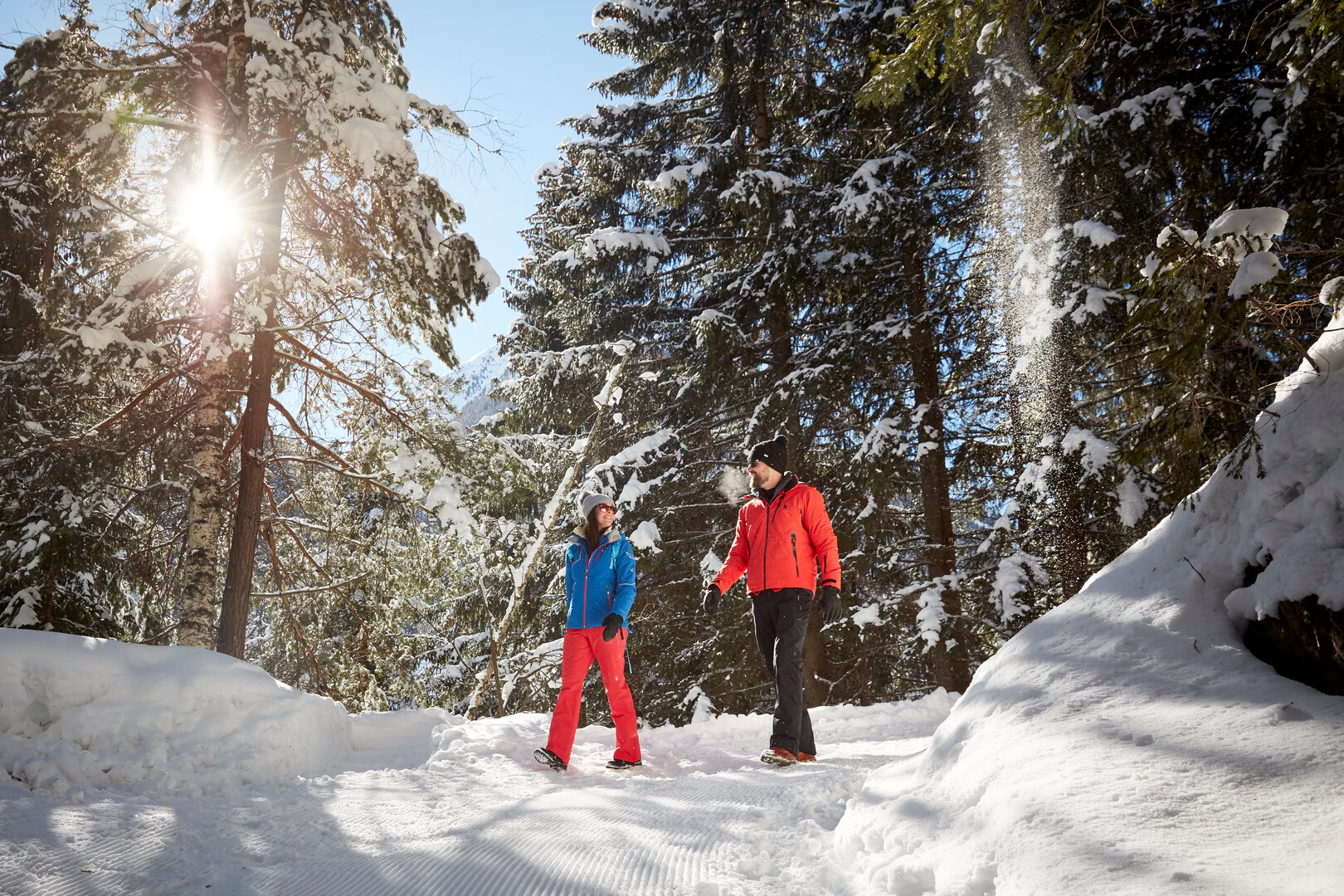
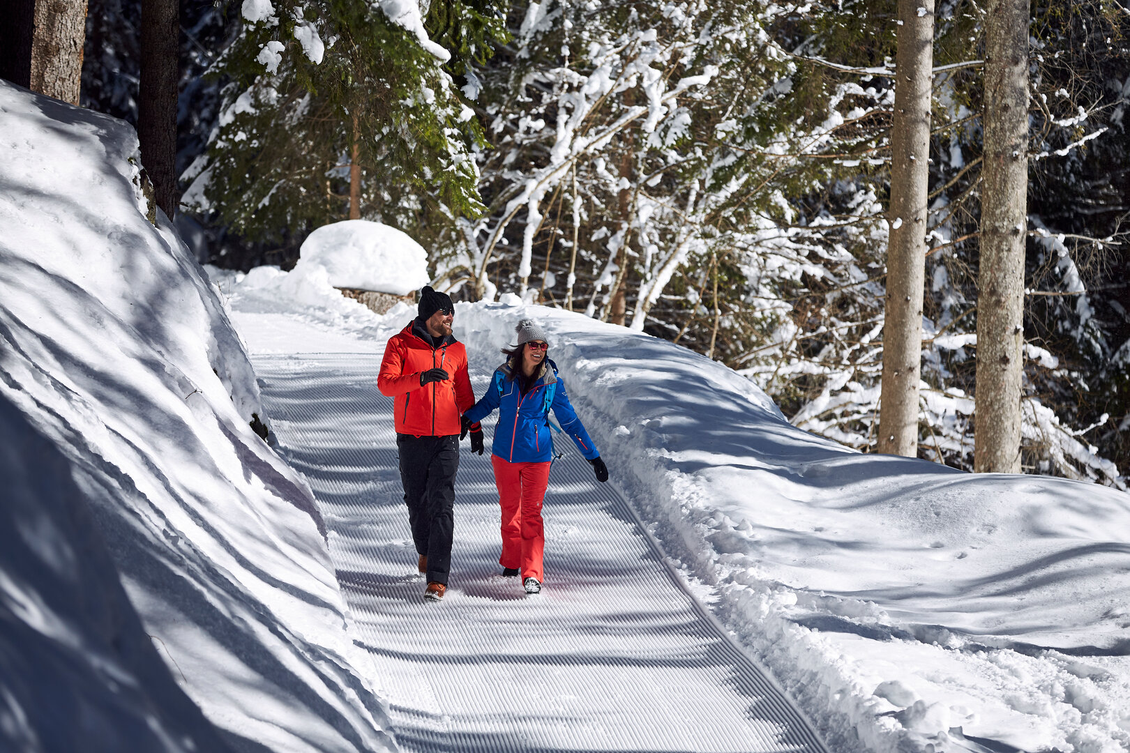
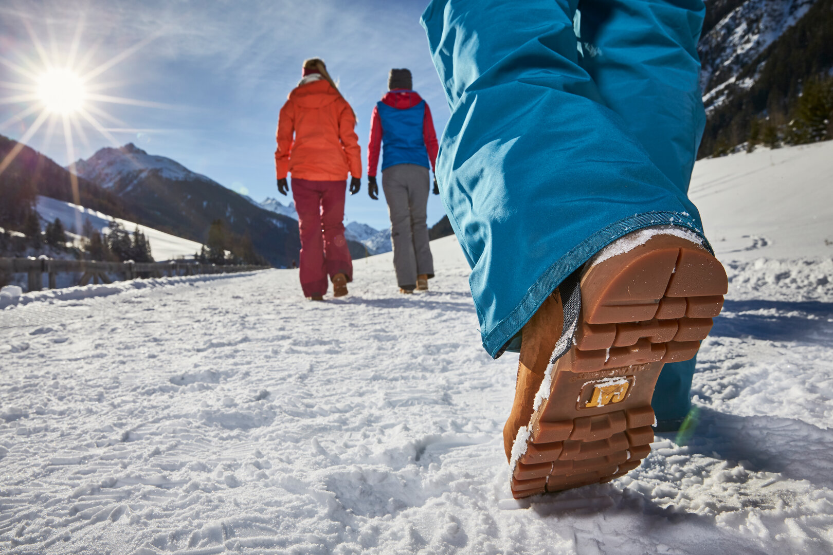
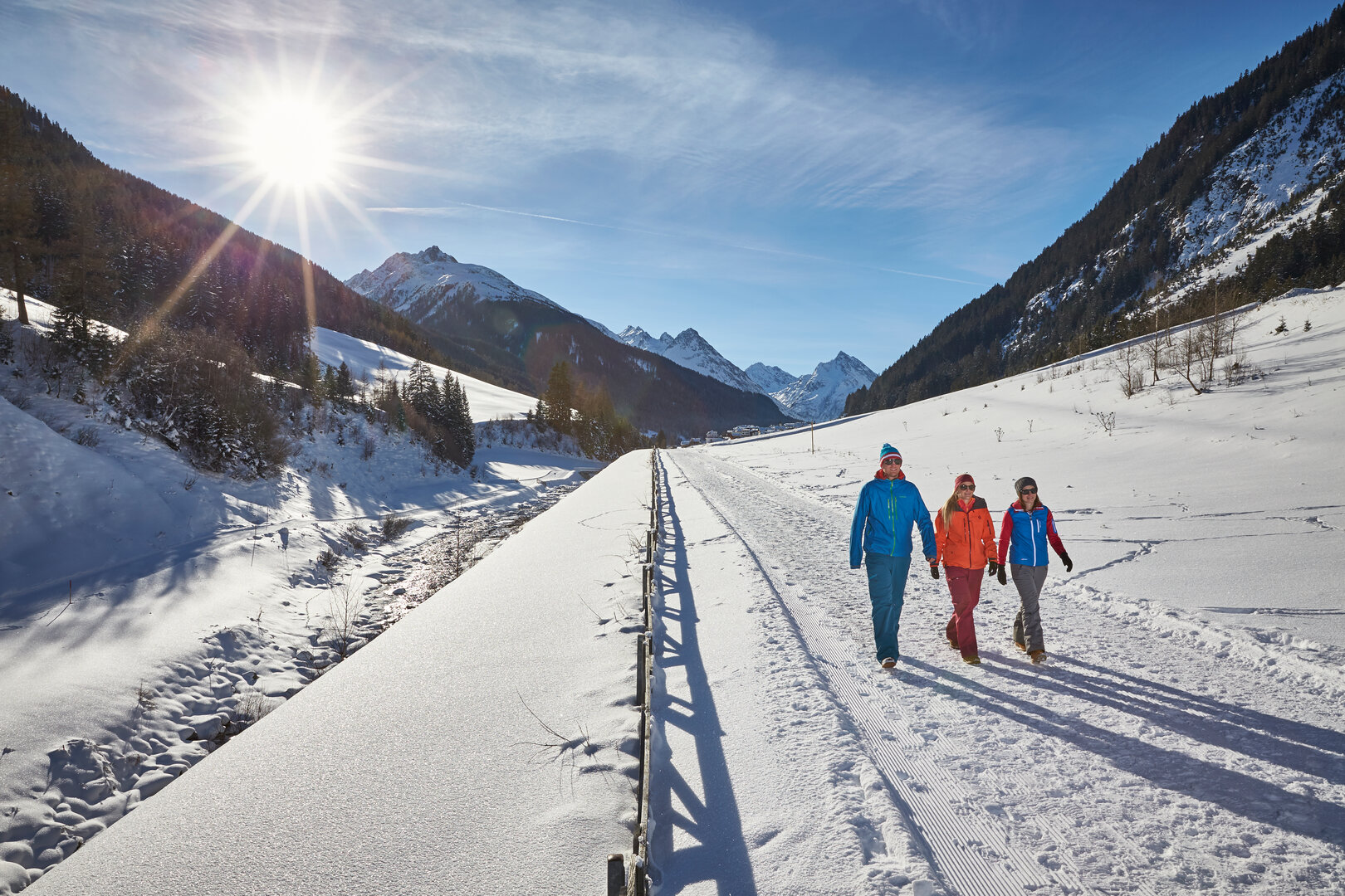
Nowhere else can the beauty of winter be better enjoyed than on a walk through the snow.
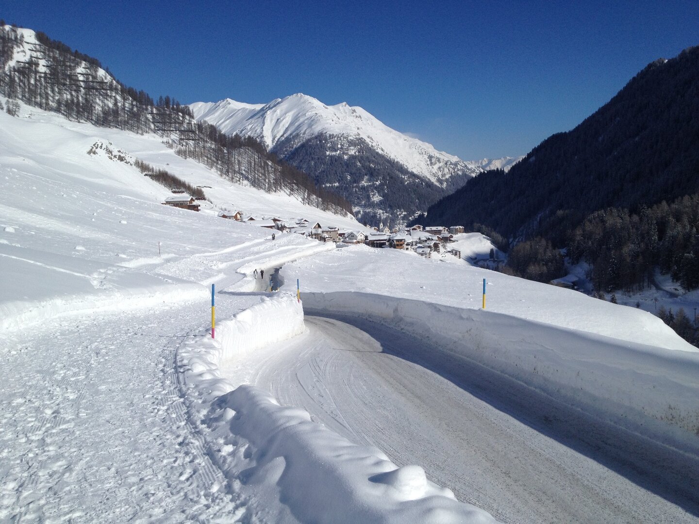
Enjoy the peacefulness of nature on a walk along the winter hiking trail from See to Kappl. The trail starts at the Kappl cable car and crosses a bridge at Hotel Mallaun, then heading out of the valley for a short bit before the forest path begins heading into the valley towards Kappl. The route leads past the hamlets of Schnatzerau, Habigen, Sesselebene and Holdernach, through forest and meadow paths alternating with sealed sections. Before getting to Kappl, you'll also hike through Platti, Untermühl and Schmiedsegg. The route is very varied and you'll get to see the individual – in part very original hamlets – along the way. If you want to hike just one section, you can get back from Kappl to See easily with the bus.
Starting point
See Cable Car
Endpoint
Kappl Village
Route length
8.5 km
Currently open
0 km
Walking time
2.5 h
Difficulty
easy
Status
closed
Refreshments
Inns in See and Kappl
Schmugglertour – Ischgl – Samnaun
open
n
not specified
If you want to combine a cross-border hiking trip with shopping, the Smugglers' Tour to duty-free Samnaun is just the thing for you.
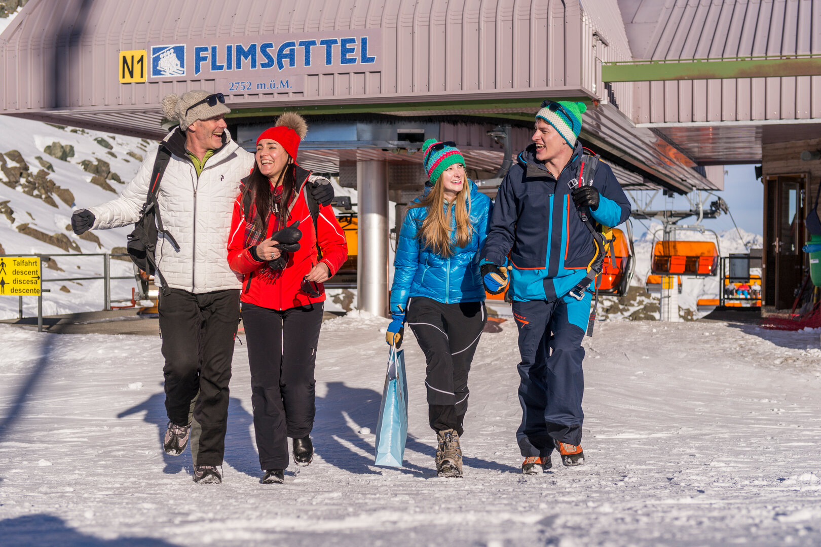
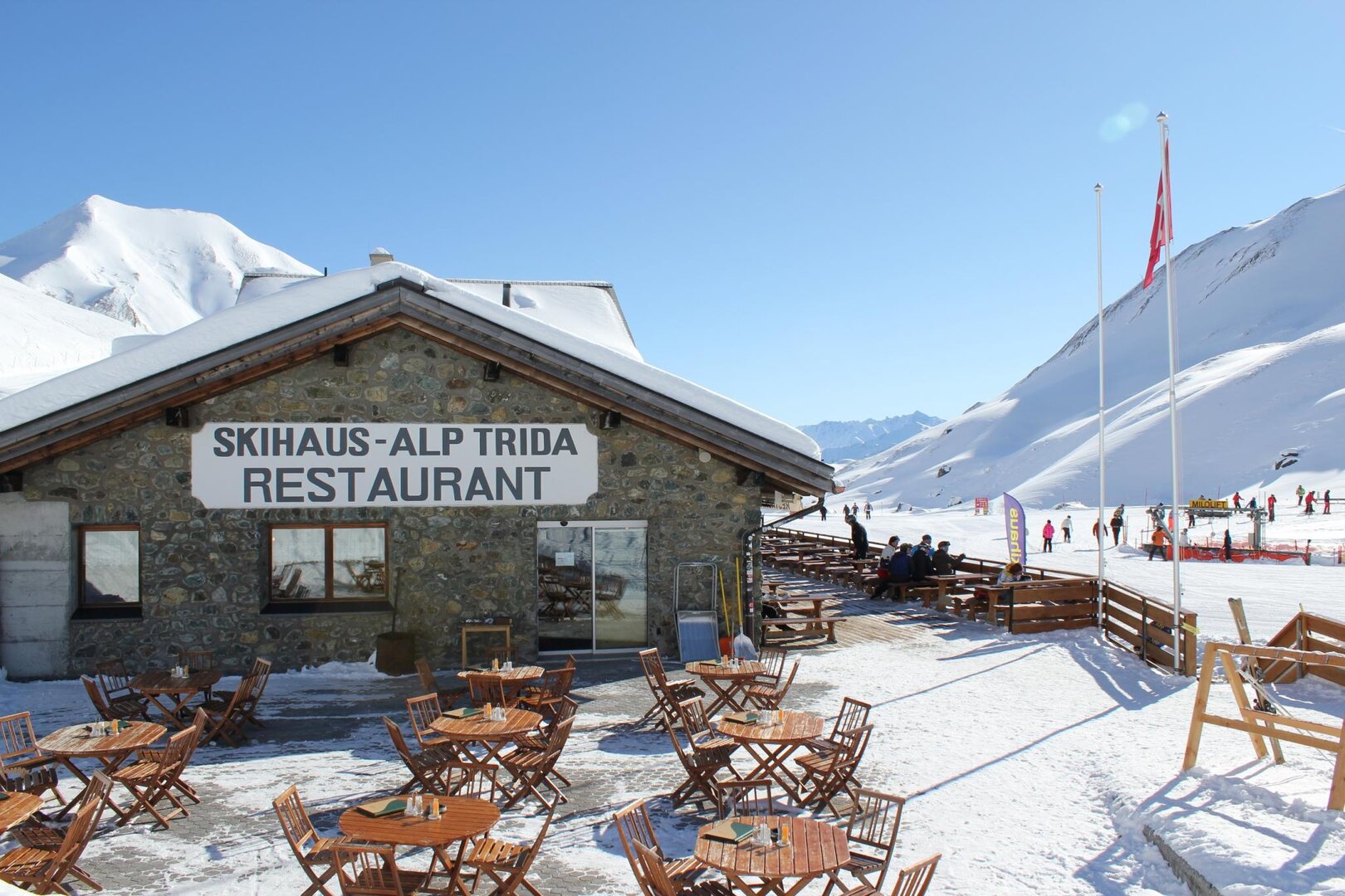
This tour can be adapted to your fitness level. You can decide by yourself whether you want to do the entire route by cable car and chairlift, or put in some sections of hiking. An experience of the special kind. From Ischgl village centre, either take the Fimba (A3) - or Silvretta cable car (A1) up to the Idalp at 2,300 m. Then take the Flimjoch chairlift (B2) to the Viderjoch hiking area at 2,700 m, which forms the border between Austria and Switzerland. Next take the Flimsattel chairlift (N1) to get to the Alp Trida Restaurant on Swiss soil. After a few metres on foot you'll reach the lower terminus of the chairlift "Alp Trider Sattelbahn" (N6). From up there, the double-deck aerial tramway (L1 or L2) goes back to Samnaun, where numerous shops are waiting to be explored. Please note: Begin return trip in Samnaun no later than 14:30, to make sure you can get back to Ischgl by lift all the way.
Starting point
Ischgl Silvretta cable car
Endpoint
Ischgl Silvretta cable car
Difficulty
not specified
Status
open
Refreshments
Restaurants in the Ischgl – Samnaun ski area
TW, Samnaun – Talwanderweg Samnaun-Laret – Samnaun Dorf
open: 3.4 km
e
easy
Route length
3.4 km
Currently open
3.4 km
Walking time
1 h
Difficulty
easy
Status
open
W1, Samnaun-Compatsch – Mottas Lungas
open: 3.7 km
e
easy
Route length
3.7 km
Currently open
3.7 km
Walking time
1.05 h
Difficulty
easy
Status
open
W10, Samnaun – Skihaus Alp Trida – Alp Bella
open: 3.7 km
m
medium
Route length
3.7 km
Currently open
3.7 km
Walking time
1.1 h
Difficulty
medium
Status
open
W2, Samnaun-Compatsch – Tschoccas
open: 3.5 km
m
medium
Route length
3.5 km
Currently open
3.5 km
Walking time
1.14 h
Difficulty
medium
Status
open
W3, Samnaun-Laret – Samnaun-Ravaisch
open: 3.4 km
e
easy
Route length
3.4 km
Currently open
3.4 km
Walking time
1.04 h
Difficulty
easy
Status
open
W3, Samnaun-Ravaisch – Samnaun Dorf
open
Status
open
W4, Samnaun-Plan – Tschischanaderet
open: 3.4 km
m
medium
Route length
3.4 km
Currently open
3.4 km
Walking time
1.1 h
Difficulty
medium
Status
open
W5, Samnaun-Ravaisch – Foppaziner-Eck
open: 2.7 km
m
medium
Route length
2.7 km
Currently open
2.7 km
Walking time
1.01 h
Difficulty
medium
Status
open
W6, Samnaun Dorf – Val Motnaida (unterer Teil 0.5 km)
open
Route length
0.5 km
Currently open
0 km
Walking time
0.5 h
Status
open
W7, Samnaun Dorf Votlas – Clis da Ravaisch
open: 0.7 km
e
easy
Route length
0.7 km
Currently open
0.7 km
Walking time
0.13 h
Difficulty
easy
Status
open
W8, Samnaun Dorf – Rundwanderweg Pragrond (Märchenweg)
open: 2.6 km
e
easy
Route length
2.6 km
Currently open
2.6 km
Walking time
0.4 h
Difficulty
easy
Status
open
Snowshoe hike in Dias
closed
m
medium
This winter hiking trail starts in the Kappl ski area. Take the Diasbahn lift for a leisurely ride up to 1,830 m, and then hike via the hamlet of Oberhaus back to Kappl.
The first section leads downhill along the piste, before getting onto the toboggan run. Through the snow-covered forest you'll get to the lower terminus of the Gongall twin-seater chairlift after a while. From here, take the forest path towards Oberhaus and hike along the municipal road through the hamlets of Stadlen, Hof, Obermühl, Grubegg and Larchi all the way down to the village. Of course, this route can also be hiked in the opposite direction.
Starting point
Mountain station Diasbahn cable car
Endpoint
Mountain station Diasbahn cable ca
Route length
1.8 km
Currently open
0 km
Walking time
1 h
Difficulty
medium
Status
closed
Refreshments
Sunny Mountain Restaurant, Bock-Alm
Galtür - Panorama-Rundwanderweg Silvapark
closed
e
easy
Easy winter hiking trail directly in the ski area
Even winter hikers get their money's worth in the Galtür Silvapark ski area. The Alpkogel cable car takes you comfortably to the mountain station - then it's a 5-minute walk to the Silvapark winter hiking trail.
Starting point
Alpkogelbahn Galtür Wirl
Endpoint
Alpkogelbahn Galtür Wirl
Route length
1 km
Currently open
0 km
Walking time
0.5 h
Difficulty
easy
Status
closed
Refreshments
Faulbrunn Alm
Galtür – Panoramatour Verwall
closed
m
medium
The starting point ‘Friedrichshafener Hut' car park is located in the Valzur area between Ischgl and Galtür and is accessible either by car or by bus (Piel bus stop – then walk a short section out of the valley).
The route proceeds upwards, in lots of switchbacks, but is never too steep - you cover some 500 meters to reach your destination. A fantastic viewing point beneath Friedrichshafener Hut (closed in the winter), with views to the impressive mountains in the Silvretta and Samnaun groups. Return via the same route.
Starting point
Parking lot Friedrichshafener Lodge
Endpoint
Parking lot Friedrichshafener Lodge
Route length
12 km
Currently open
0 km
Walking time
4 h
Difficulty
medium
Status
closed
Refreshments
none
Galtür – Silvapark
closed
e
easy
After a short journey on the Alpkogelbahn you reach the starting point of the Silvapark winter hiking trail.
Linger for a while in one of the loungers to take in a view which will take your breath away. Follow the signposted trail into the valley. The hike passes the Faulbrunnalm and Fluchthornalm mountain restaurants. Enjoy the wonderful sunshine on the terraces at the mountain restaurants and indulge in some delicious Tyrolean food. After a lovely hike through the SILVAPARK ski area you reach the hamlet of Oberwirl. From here you still have the opportunity to take the winter hiking trail which proceeds to Galtür.
Note: Walks on the hiking trail are carried out at your risk. Skiers/snowboarders use the entire area, so watch out for them, particularly when crossing the pistes.
Starting point
Alpkogelbahn Galtür Wirl
Endpoint
Galtür Wirl
Route length
3 km
Currently open
0 km
Walking time
1.5 h
Difficulty
easy
Status
closed
Refreshments
restaurants in the ski area and in Wirl
Galtür – Tschaffein – Waldkapelle
closed
m
medium
The hike starts at the football pitch in Galtür, first walking along the Trisanna stream over level terrain to the hamlet of Tschaffein. In the area "Kind" is blocked!
From there, take the footway to the "Rifugio" holiday homes and then a short bit along the A-road, before continuing left back onto the steamrolled winter hiking trail. Above the road, hike through the woodland until walking down to the wildlife park along Valzurbach stream. After a short climb, continue along level terrain through the forest until getting to the romantically located forest chapel, and then the hamlet of Tschaffein, before arriving back in Galtür again. The entire circuit of a total of 9 km (from and back to Galtür) does require some fitness - but any effort is soon forgotten when taking in the views of the mighty Ballunspitze (2,671 m) rising up from Galtür. Those who think this is too far can shorten the circuit by hiking only to the wildlife park and taking a bus back to Galtür from there.
In the area "Kind" is blocked!
Starting point
Galtür village square
Endpoint
Galtür village square
Route length
9 km
Currently open
0 km
Walking time
2.5 h
Difficulty
medium
Status
closed
Refreshments
Inns in Galtür
Galtür – Wirl
closed
m
medium
The winter hiking trail between Galtür and Wirl requires medium strong fitness with its 4 km and gentle climbs. Start off at the Galtür football.
The trail leads across flat terrain along the Vermunt stream and into the valley, until you get to Wirl district and the lower terminus of the Birkhahnbahn cable car. Experience the snow-covered scenery in Galtür, the highest located township in Paznaun, at just below 1,600 m and sheltered by the soaring mountains of the Silvretta Group. Numerous 3,000-metre peaks are within touching distance here and the scenery is shaped by the prominent peaks. Galtür means "Experiencing high alpine winter sports!" This tour is especially recommendable on Wednesday evenings when the lights of the night-time skiing light up the Silvapark.
Starting point
Galtür village square
Endpoint
Galtür Wirl
Route length
4 km
Currently open
0 km
Walking time
1.5 h
Difficulty
medium
Status
closed
Refreshments
Inns in Galtür and Wirl
Ischgl – Ebene
closed
e
easy
This leisurely winter hiking trail leads from the Silvretta cable car along the valley trail towards Kappl.
After the Silvretta parking lot, cross a small bridge and follow the signs for "Winterwanderweg Ebene". Shortly after, cross the rushing Madlein stream and the districts of Versahl, Vergröß, Platt and finally Ebene follow. On this path, slightly above the Trisanna, you can escape the hustle and bustle of the lifestyle metropolis and enjoy the snow-covered scenery. In the hamlet of Ebene, there is a bus stop allowing you an easy return trip back to Ischgl. Those who still have some energy can hike back along the same route.
Starting point
Ischgl Silvretta parking lot
Endpoint
Ischgl Ebene
Route length
8.5 km
Currently open
0 km
Walking time
2 h
Difficulty
easy
Status
closed
Refreshments
Inns along the way
Ischgl – Mutta
closed
e
easy
The winter hiking trail up to the Mutta leads from Ischgl village centre through forests covered in deep snow uphill in switchbacks.
From up here you have wonderful views across all of Ischgl and can observe the lively goings-on at a distance. The wide path winds uphill for 2.5 km, rewarding those getting to the top with great views. From the Silvretta cable car, walk past the parking lot and after crossing the bridge follow the signs for Mutta. On the way back, the route can be extended a bit and some sunshine caught by not walking back in direction of the parking lot again after Jungmann Inn, but taking the turn-off before and hiking to the hamlet of Paznaun. A few benches beckon to put in a rest, offering fine views of Ischgl town centre. From the hamlet of Paznaun, it's back to the village again.
Starting point
Ischgl Silvretta cable car
Endpoint
Ischgl Silvretta cable car
Route length
6 km
Currently open
0 km
Walking time
1.5 h
Difficulty
easy
Status
closed
Refreshments
Inns in Ischgl
Kappl – Mittelschule – Dorf
closed
m
medium
The hike starts in the hamlet of Lochau, where the new secondary school is located.
This winter hiking trail leads through snowy forest, across romantic clearings, past a wildlife feeding station to the shooting club. Here the peacefulness can be optimally enjoyed while relaxing at ease. About 500 metres after the shooting club, switch to the other side of the road. Then keep left and after some 100 metres take the route in direction of Platti. On the sealed road, continue via Untermühl back to Kappl village centre. All in all, a leisurely circuit which is not too demanding.
Starting point
Secondary school in Kappl
Endpoint
Kappl Village
Route length
4.5 km
Currently open
0 km
Walking time
1.5 h
Difficulty
medium
Status
closed
Refreshments
Inns in Kappl
Kappl – Mittelschule – Nederle
closed
e
easy
Those looking for a leisurely winter hiking trail which is not too demanding are right on target here.
The level trail from Paznaun secondary school to Nederle is ideal for a leisurely walk through the Kappl winter scenery. From the secondary school in the hamlet of Lochau, keep heading into the valley along Trisanna stream until passing the Kappl cable cars. Then walk through the districts of Höferau, Sinsner Au to finally reach the hamlet of Nederle after Hotel Höllroah. Getting back to Kappl village is easy by bus. Those who want can also hike back the same way.
Starting point
Secondary school in Kappl
Endpoint
Kappl Nederle
Route length
3.5 km
Currently open
0 km
Walking time
1.5 h
Difficulty
easy
Status
closed
Refreshments
Inns in Kappl
Kappl – Rotwegkapelle
closed
m
medium
The winter hiking trail from Kappl village to the Rotweg chapel may be somewhat more challenging due to its climbs,
but in turn provides breath-taking views of lower Paznaun valley. It starts off at Kappl village square. Below the church, hike in direction of Hotel Dorfstadl to the Diasbahn turn-off. A meadow path leads to the left down to the Diasbahn lower terminus. Here you cross the road across Kohlplatz bridge, from where the forest path to Rotweg chapel begins. Somewhat steep to begin with, the hike leads through snowy winter scenery until getting to the small chapel, from where you have nice views of the village and various hamlets. When a thick blanket of snow has fallen onto the roof of Rotweg chapel and the sun makes the snow sparkle, that's when winter is showing its best side.
Starting point
Kappl Village
Endpoint
Kappl Village
Route length
4 km
Currently open
0 km
Walking time
2 h
Difficulty
medium
Status
closed
Refreshments
Inns in Kappl
Kappl – See
closed
e
easy
Nowhere else can the beauty of winter be better enjoyed than on a walk through the snow.
Enjoy the peacefulness of nature on a walk along the winter hiking trail from Kappl to See. The trail starts at Kappl church and initially leads along the municipal road through the hamlets of Schmiedsegg, Untermühl and Platti. Continue heading out of the valley, repeatedly alternating between forest roads and sealed sections after the Holdernach turn-off. Pass the districts of Holdernach, Sesselebene and Schnatzerau, until finally getting to the finish at the See cable car. The route is very varied and you'll get to see the individual – in part very original - hamlets along the way. If you want to hike just one section, you can get back from See to Kappl easily.
Starting point
Kappl Village
Endpoint
See Cable Car
Route length
8.5 km
Currently open
0 km
Walking time
2.5 h
Difficulty
easy
Status
closed
Refreshments
Inns in Kappl and See
Kappl – Sesslad
closed
e
easy
A leisurely trail, also suitable for families or those who prefer shorter jaunts, is the Sunny Mountain winter hiking trail in the Kappl ski area.
Hover up to 1,830 meters on the Diasbahn lift, where the trail starts. Through the tunnel (above the upper terminus) you’ll get to the Sunny Mountain Restaurant. From here, a path to the left (above the Sunny Mountain Restaurants) leads all the way to where the children’s practice area is. Here, follow the groomed path below the new pump station along the dam of the “new reservoir” until after about a ½-hour walk you’ll get to the and of the path (way back along the same route). All in all, a peaceful and leisurely tour for those who like to take things a little slower. Those who like can put in a short walk along the border of the lake of the upper reservoir first. This short detour from the hike proper is well worth the effort, as benches provide a chance to put in a well-deserved break.
Starting point
Mountain station Diasbahn cable car
Endpoint
Mountain station Diasbahn cable car
Route length
3.5 km
Currently open
0 km
Walking time
1.5 h
Difficulty
easy
Status
closed
Refreshments
Inns in the ski area
Kappl – über Oberhaus
closed
e
easy
This winter hiking trail starts in the Kappl ski area. Take the Diasbahn lift for a leisurely ride up to 1,830 m, and then hike via the hamlet of Oberhaus back to Kappl.
The first section leads downhill along the piste, before getting onto the toboggan run. Through the snow-covered forest you'll get to the lower terminus of the Gongall twin-seater chairlift after a while. From here, take the forest path towards Oberhaus and hike along the municipal road through the hamlets of Stadlen, Hof, Obermühl, Grubegg and Larchi all the way down to the village. Of course, this route can also be hiked in the opposite direction.
Starting point
Mountain station Diasbahn cable car
Endpoint
Kappl Village
Route length
6 km
Currently open
0 km
Walking time
2 h
Difficulty
easy
Status
closed
Refreshments
Inns in Kappl
Snowshoe hike in the Silvapark Galtür
closed
m
medium
The starting point of the signposted tour is the mountain station of the Alpkogel cable car.
The route, which is around two kilometres long, leads snowshoe hikers to the picturesque winter landscape and connects the Silvretta and Verwall mountain groups. Wonderful views of the Kops reservoir and the surrounding mountains make this snowshoe hike an unforgettable experience. A winter hiking trail leads to the destination in Wirl.
Starting point
Mountain station Alpkogelbahn cable car
Endpoint
Winter Hiking Trail Zeinis
Route length
5.6 km
Currently open
0 km
Walking time
3 h
Difficulty
medium
Status
closed
Refreshments
restaurants in the ski area and in Wirl
Ischgl
closed
e
easy
The Ischgl winter hiking trail is perfect as an initial explorative tour or something for more leisurely days when on winter holidays.
With 5 km of level routing, it is not overly demanding yet leaves you with the feeling of actually having done something. The hiking trail starts right by the Silvretta parking lot and is marked with a sign (entry point to cross-country skiing trail). In the beginning, a short walk leads directly along the cross-country skiing trail before the route branches off onto a separate trail in the hamlet of Paznaun. The trail continues across level terrain for 2.5 km in direction of Mathon. Having arrived at the recycling yard, the following options are available: either take the same trail back (total length of hike 5 km) or take the bus back to Ischgl or continue hiking towards Galtür, where you can get on the Mathon winter hiking trail.
Starting point
Ischgl Silvretta parking lot
Endpoint
Ischgl recycling yard
Route length
5 km
Currently open
0 km
Walking time
1.5 h
Difficulty
easy
Status
closed
Refreshments
Inns in Ischgl
Ischgl – Mathon
closed
e
easy
This 6 km long winter hiking trail can be combined with the winter hiking trail from Ischgl. Alternatively, take the bus to the entry point.
The route immediately starts off with a short climb, but then levels out again and continues on the gallery and then close to the forest to Mathon. When exiting the village, cross the Valzur stream and walk to the wildlife park located below. Here you can stop off at the inn or take a bus for the return trip. Alternatively, hike along the now opposite side of Trisanna stream back to Ischgl. The route proceeds almost exclusively level along the banks back to the starting point. Of course, the route can also be hiked in the opposite direction.
Starting point
Ischgl recycling yard
Endpoint
Wildlife park Mathon
Route length
6 km
Currently open
0 km
Walking time
1.5 h
Difficulty
easy
Status
closed
Refreshments
Inns in Ischgl
Ischgl – Panoramatour Verwall
closed
m
medium
The starting point ‘Friedrichshafener Hut' car park is located in the Valzur area between Ischgl and Galtür and is accessible either by car or by bus (Piel bus stop – then walk a short section out of the valley).
The route proceeds upwards, in lots of switchbacks, but is never too steep - you cover some 500 meters to reach your destination. A fantastic viewing point beneath Friedrichshafener Hut (closed in the winter), with views to the impressive mountains in the Silvretta and Samnaun groups. Return via the same route.
Starting point
Parking lot Friedrichshafener Lodge
Endpoint
Parking lot Friedrichshafener Lodge
Route length
12 km
Currently open
0 km
Walking time
4 h
Difficulty
medium
Status
closed
Refreshments
none
ST1, Samnaun Dorf – Motnaida
closed
e
easy
Starting point
Samnaun Dorf beim Motnaida
Endpoint
Samnaun Dorf beim Motnaida
Route length
1.3 km
Currently open
1.3 km
Walking time
0.5 h
Difficulty
easy
Status
closed
ST2, Samnaun-Ravaisch – Samnaun-Laret
closed
e
easy
Route length
1.9 km
Currently open
1.9 km
Walking time
0.5 h
Difficulty
easy
Status
closed
W6, Samnaun Dorf – Motta Saltuorn – Val Motnaida
closed
m
medium
Route length
3 km
Currently open
3 km
Walking time
2.21 h
Difficulty
medium
Status
closed
W9, Samnaun – Alp Trider Sattel – Salaas
closed
e
easy
Route length
3 km
Currently open
3 km
Walking time
0.55 h
Difficulty
easy
Status
closed
Galtür – Menta
blocked
e
easy
The Menta winter hiking trail starts in the district of Gaffelar and runs in a southern direction into Jamtal Valley.
Here you have unmatched views of Jamtal glacier already at the start of the entrance to the valley. After some 1.5 km you'll get to the end of this winter hiking trail and the way back also leads along the same route. Please note that the Menta Alm is closed in the winter.
Starting point
Galtür hamlet Gaffelar
Endpoint
Galtür hamlet Gaffelar
Route length
2.9 km
Currently open
0 km
Walking time
1.5 h
Difficulty
easy
Status
blocked
Refreshments
Inns in Galtür
Galtür – Silvretta – Bielerhöhe
blocked
d
difficult
The course of this 18 km long winter hiking trail is challenging, but the wonderful alpine panoramas and snow-covered mountain scenery soon make any exertion forgotten.
The enjoyment comes easy on the sun-kissed Bielerhöhe pass (2,040 m) with its awesome Silvretta reservoir! The tour starts in the Galtür district of Wirl, directly by the lower terminus of the Birkhahnbahn. A steady climb for some 9 km to the Bielerhöhe pass, where the impressive Silvretta reservoir is located. Away from the hustle and bustle, relaxing here comes easy. The way back is along the same route. No short-cut by bus is possible.
Starting point
Galtür Wirl
Endpoint
Galtür Wirl
Route length
18 km
Currently open
0 km
Walking time
5 h
Difficulty
difficult
Status
blocked
Refreshments
Inns in Galtür and Wirl, Piz Buin Inn at the Bielerhöhe pass
Galtür – Zeinis – Kops
blocked
d
difficult
The area around the Zeinis & Kops reservoirs is surely one of the most idyllic spots in Paznaun.
By the border between Tirol & Vorarlberg, impressive views of the sheltering giants of the Silvretta group await. The route starts in Wirl district opposite the St. Antonius chapel – just before Hotel Wirlerhof. Past the alpine farm, a steady climb on the old Zeinisstraße leads towards Zeinis or Kops. The last bit before the two lakes is level again. First you'll get to the smaller Zeinis reservoir, then Kops reservoir. An impressive backdrop for all winter sports fans opens up here! Please note that no rest stops with food or drink are available up here. A total of 11.5 km is to be negotiated on this route. No short-cut by bus is possible.
Starting point
Galtür Wirl
Endpoint
Galtür Wirl
Route length
11.5 km
Currently open
0 km
Walking time
3 h
Difficulty
difficult
Status
blocked
Refreshments
Inns in Galtür and Wirl
Last update:
*
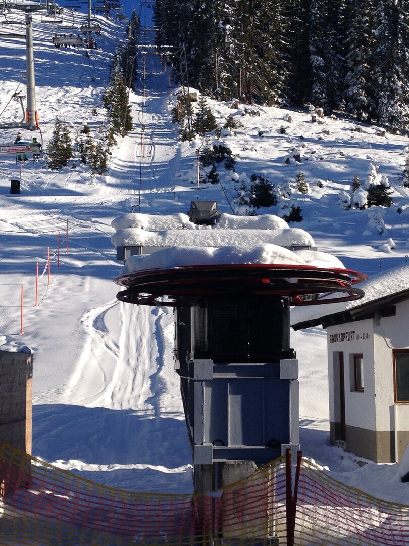
Additional information: Rauhkopf lift is only in operation during night skiing!